Seeing neighbourhoods you know almost magically transformed into its previous self is an amazing part of photography and the documentation of our cities. The Toronto Archives are a treasure trove of such images, some dating back to the mid 1800s. We have shared images from Queen Street, both Part 1 and Part 2, and have shared some of Toronto’s old storefronts. For this curated collection of vintage photographs from Toronto, we took a look along King Street to see what is was once like.
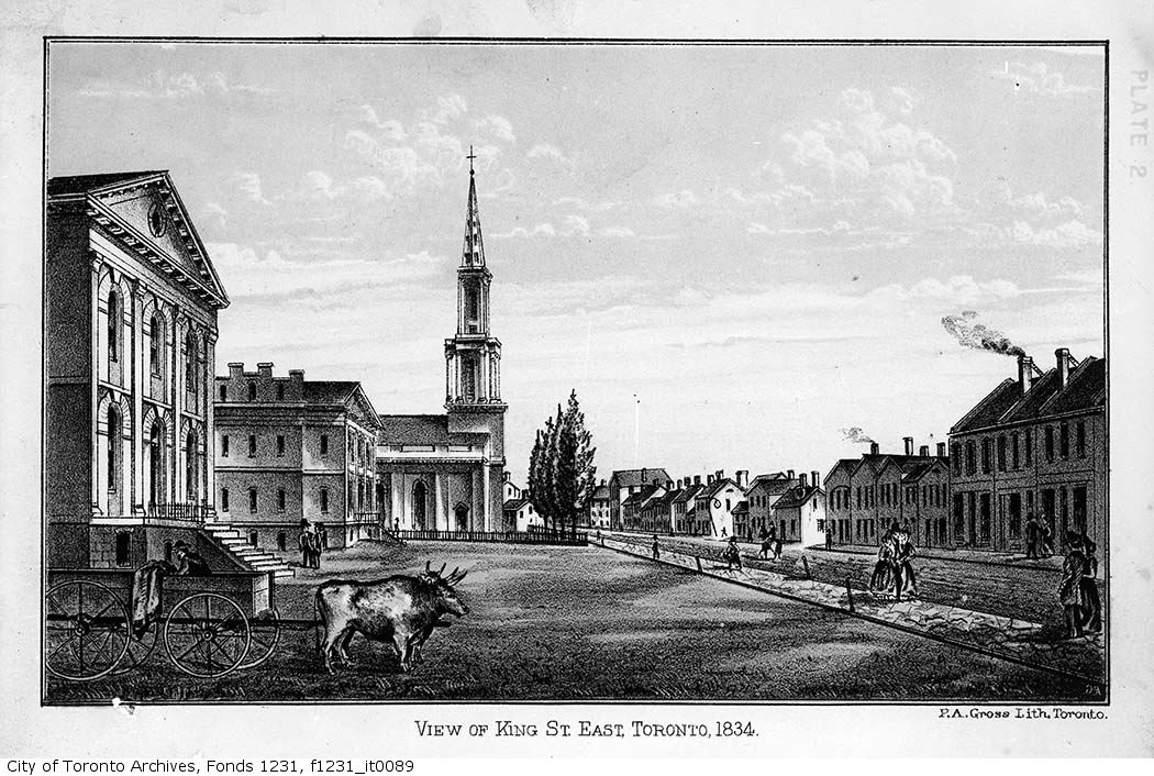
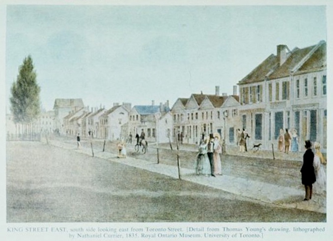
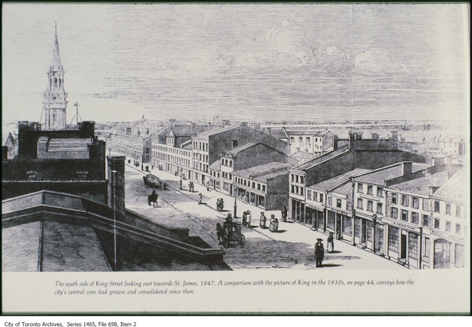
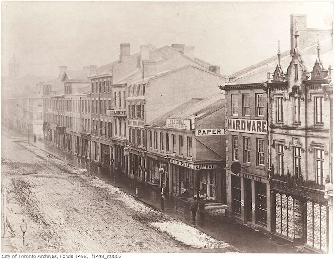
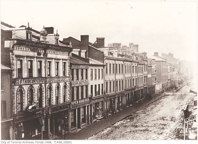
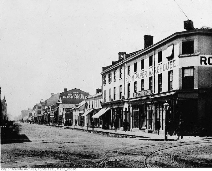
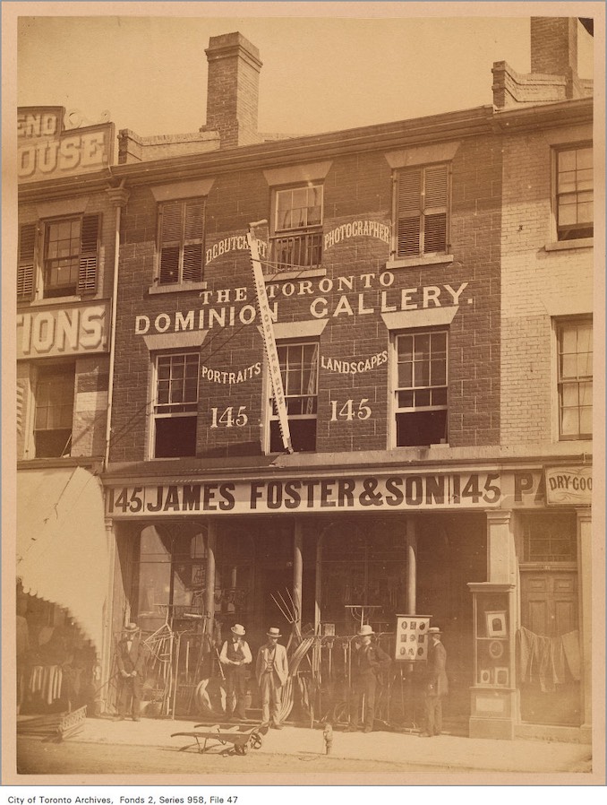
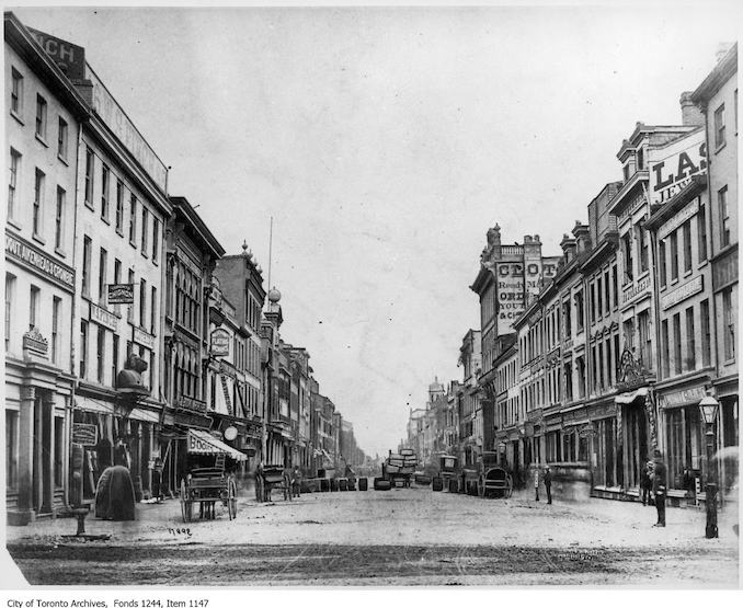
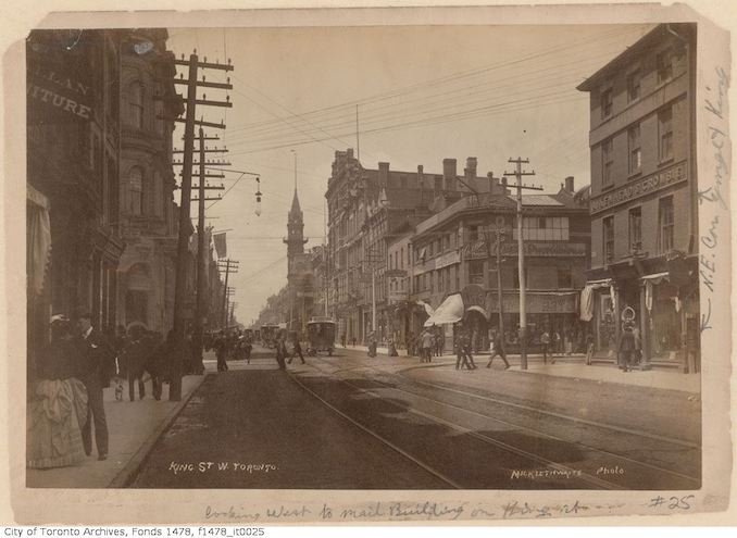
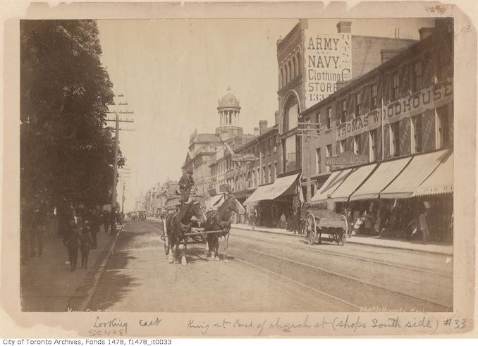
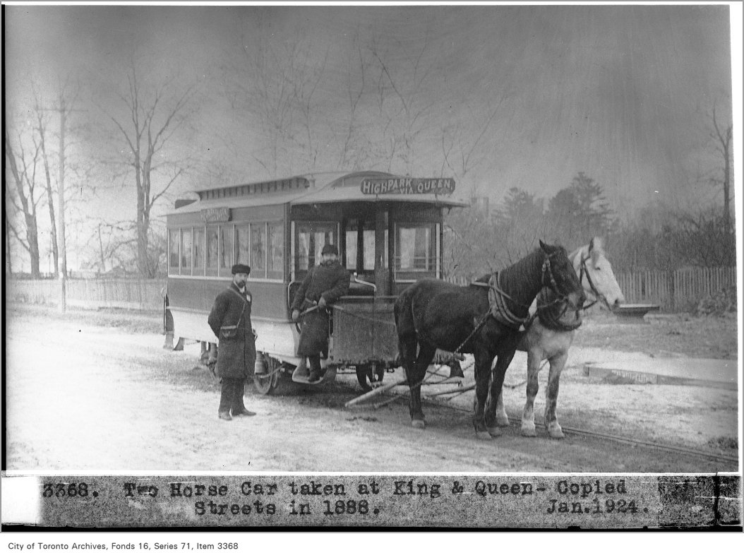
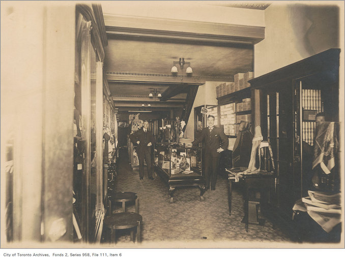
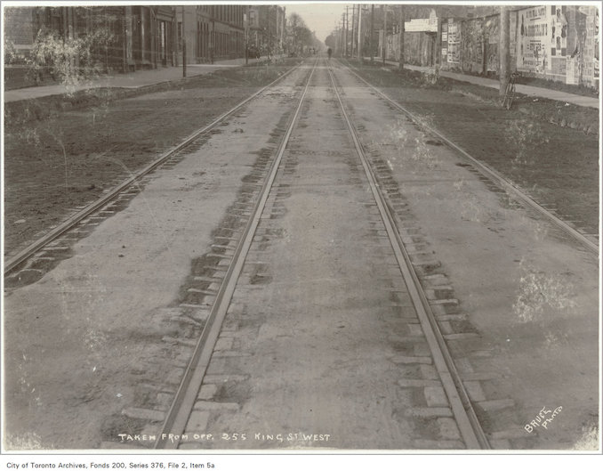
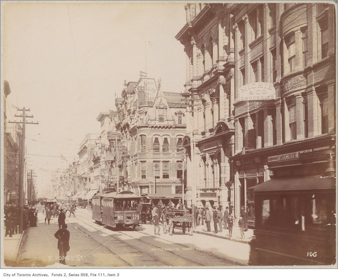
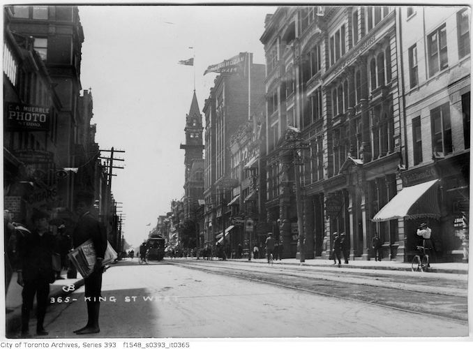
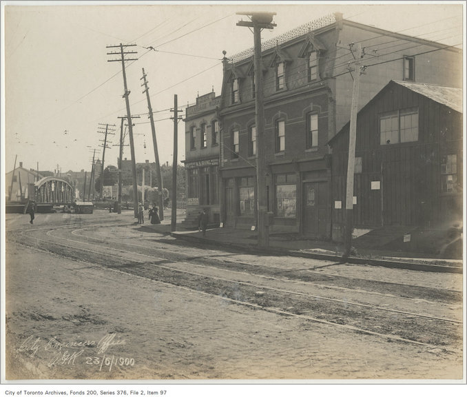
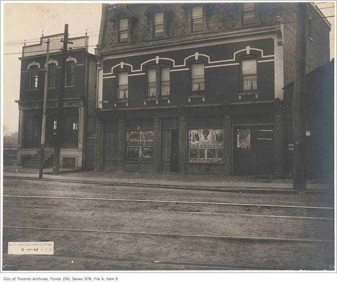
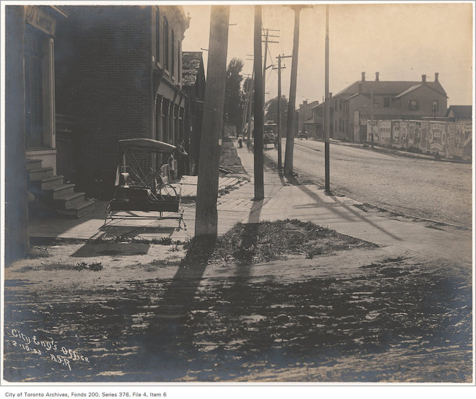
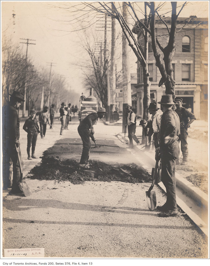
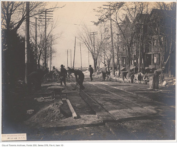
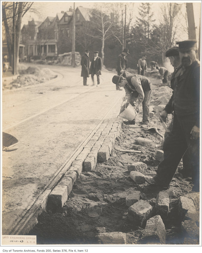
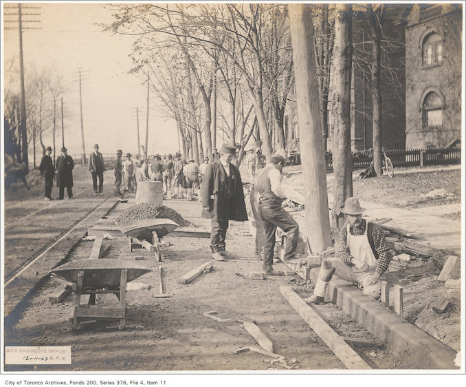
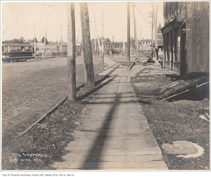
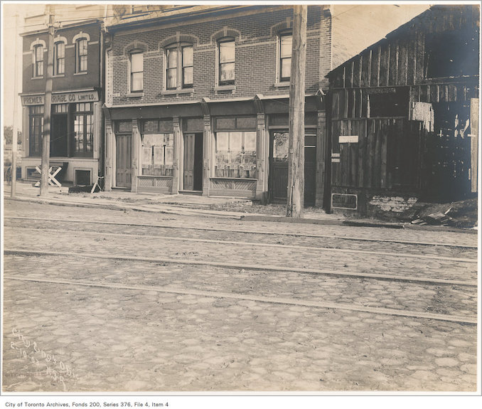
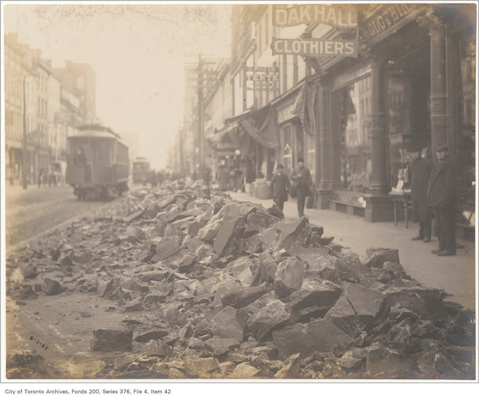
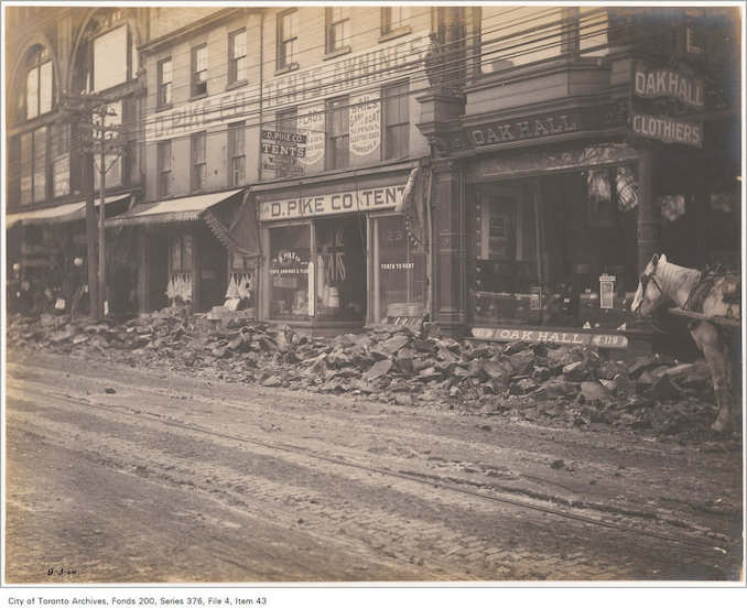
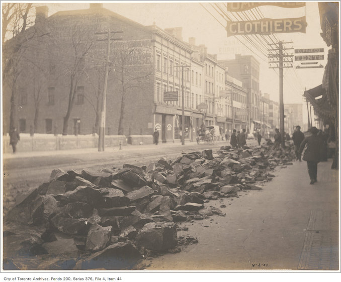
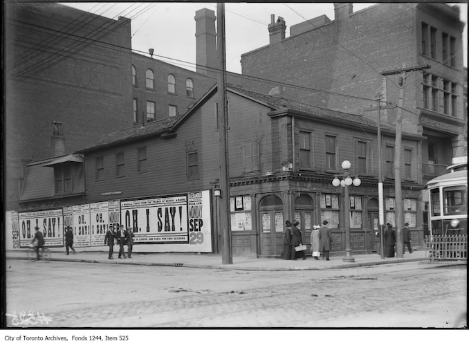
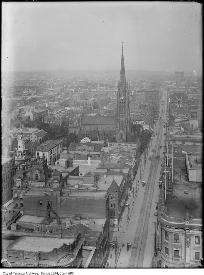
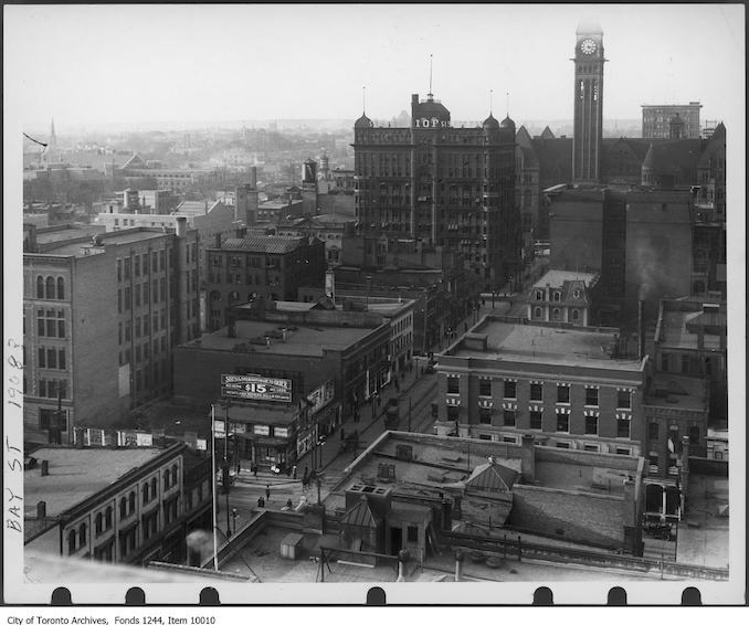
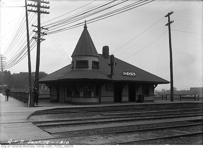
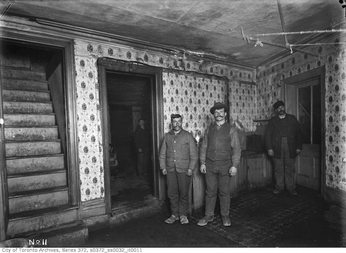
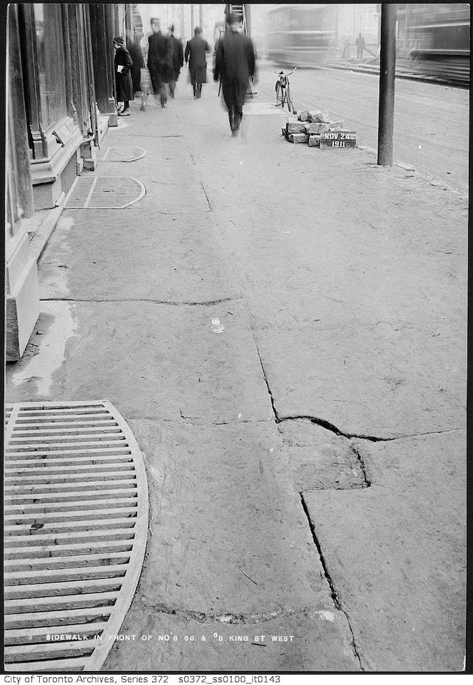
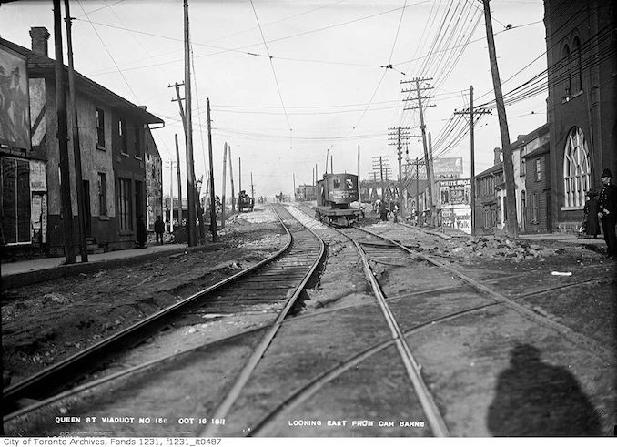
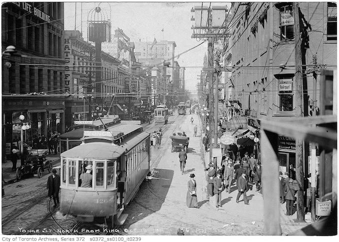
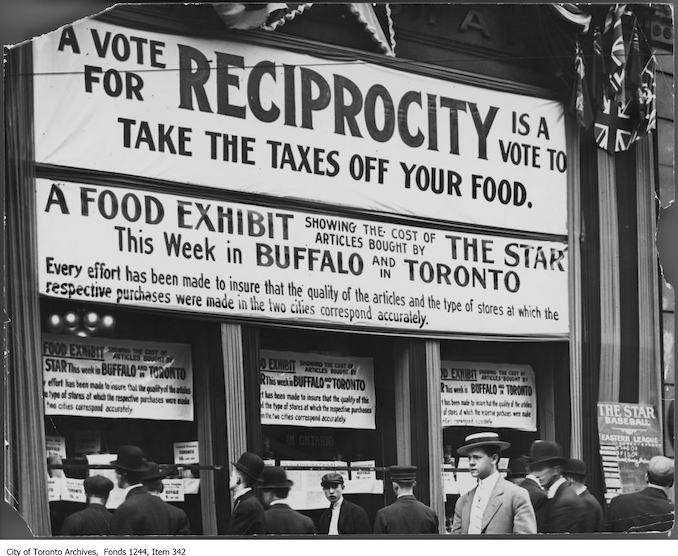
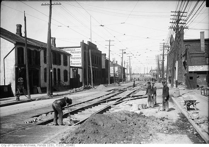
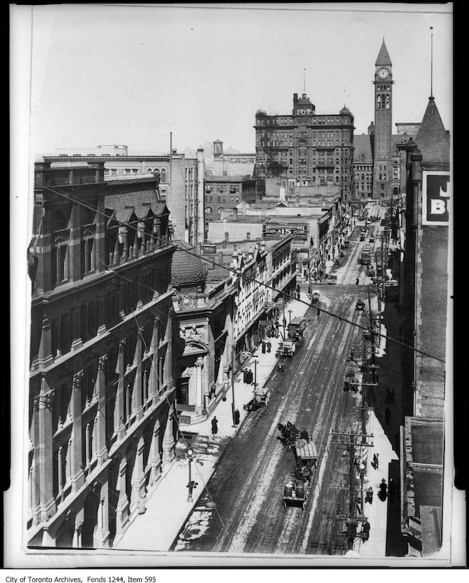
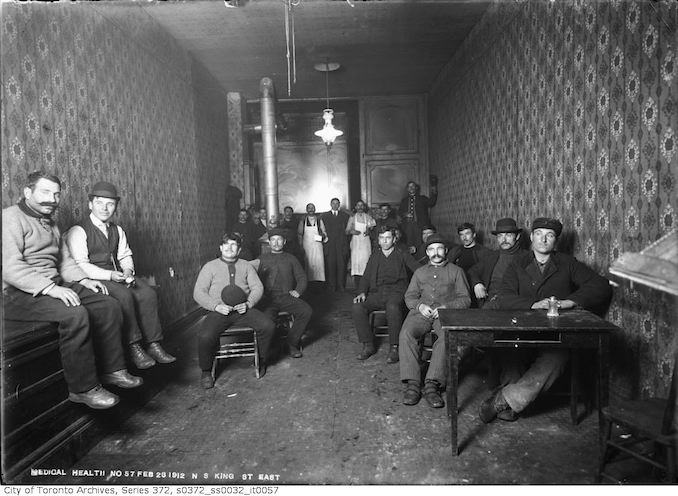
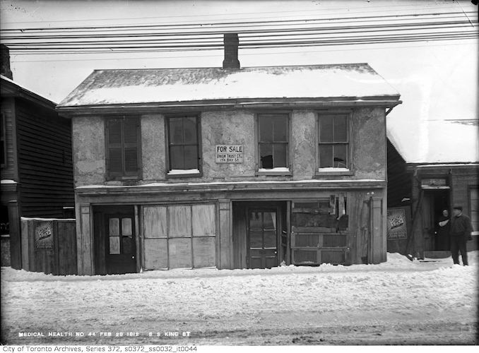
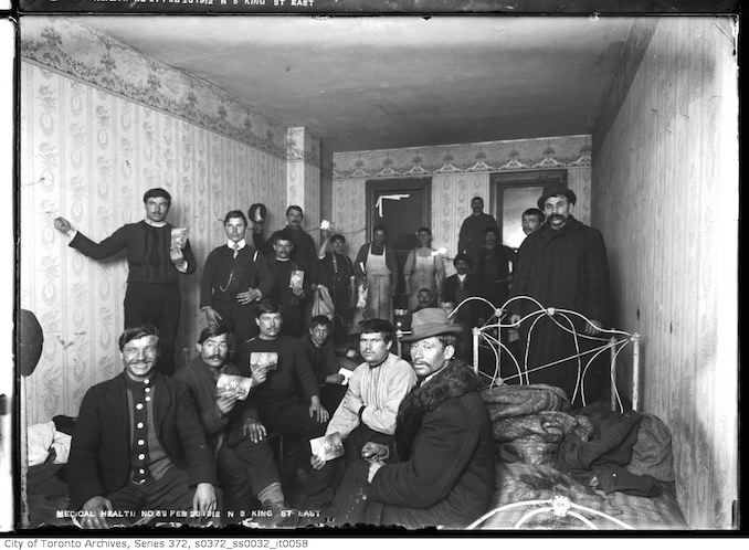
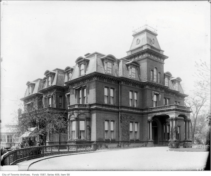
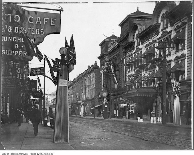
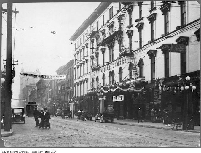
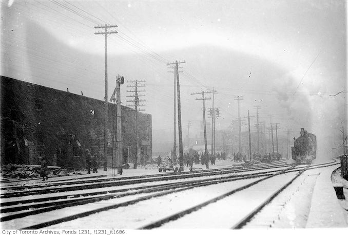
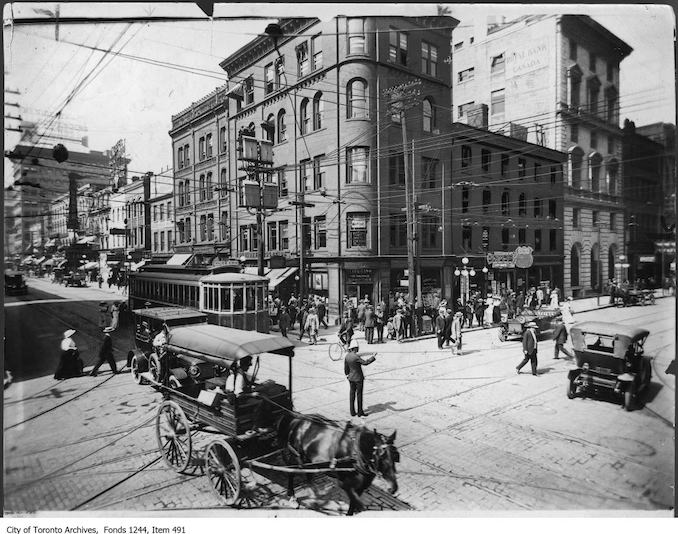
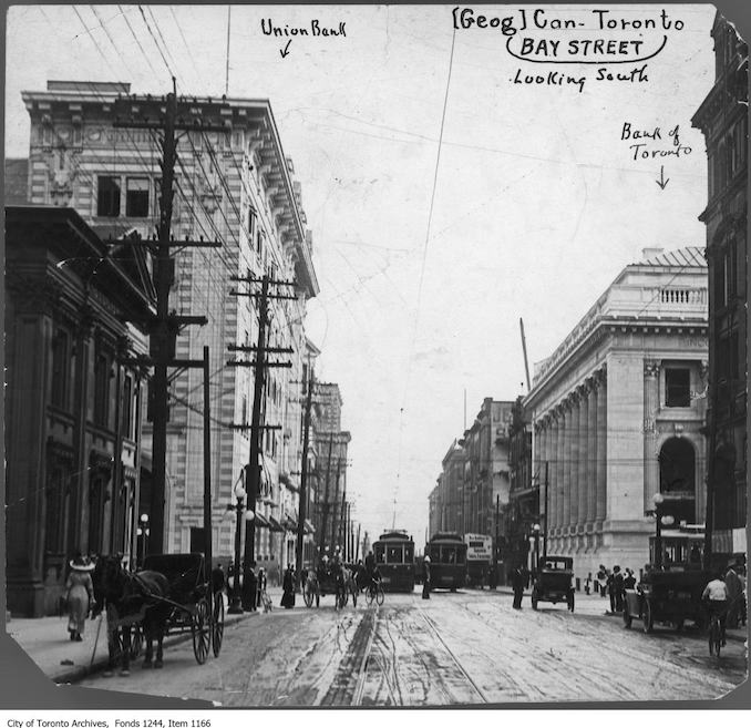
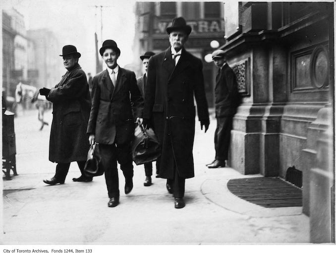
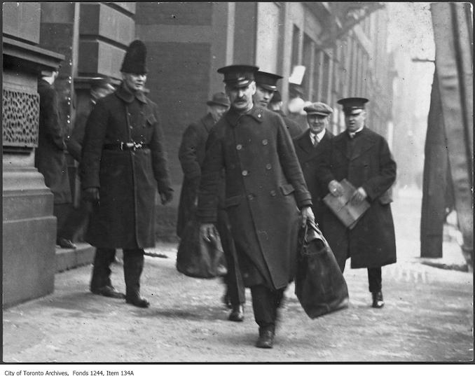
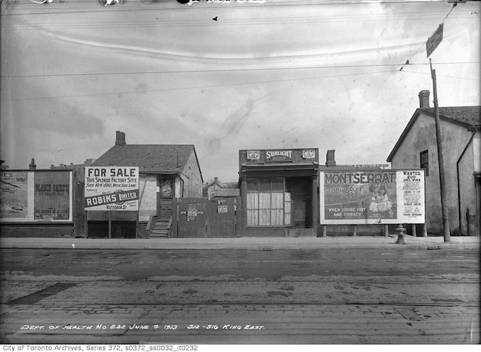
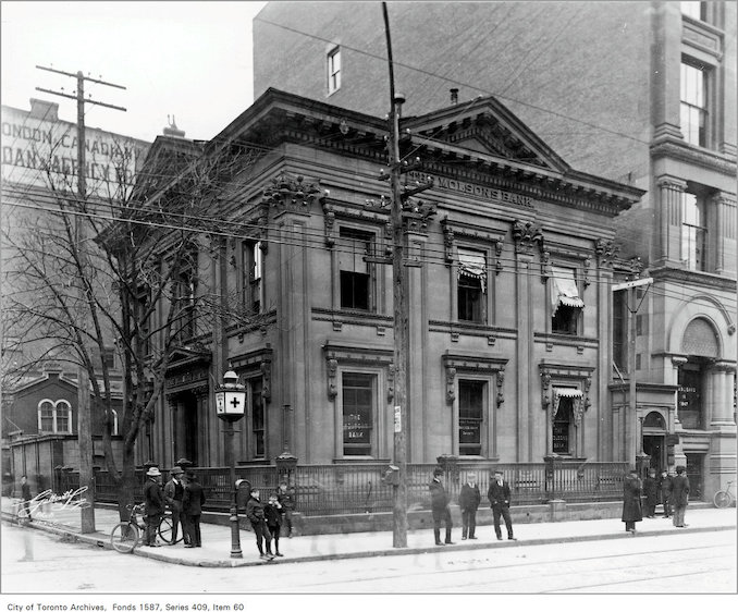
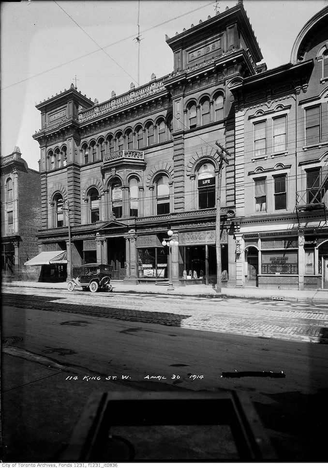
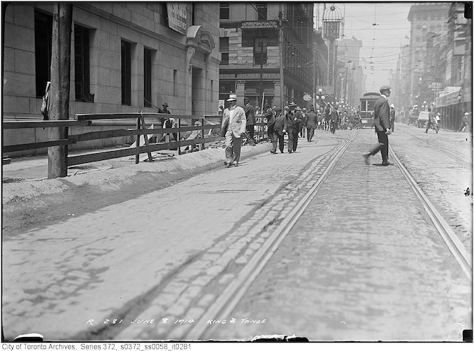
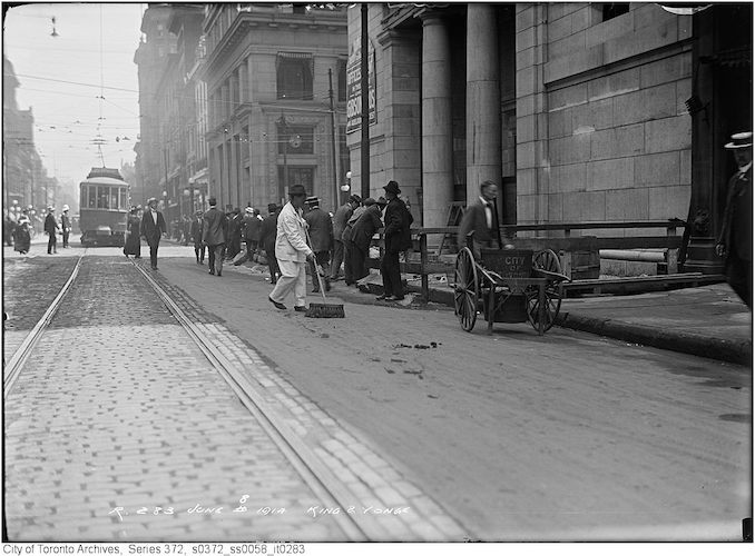
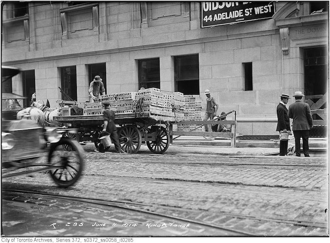
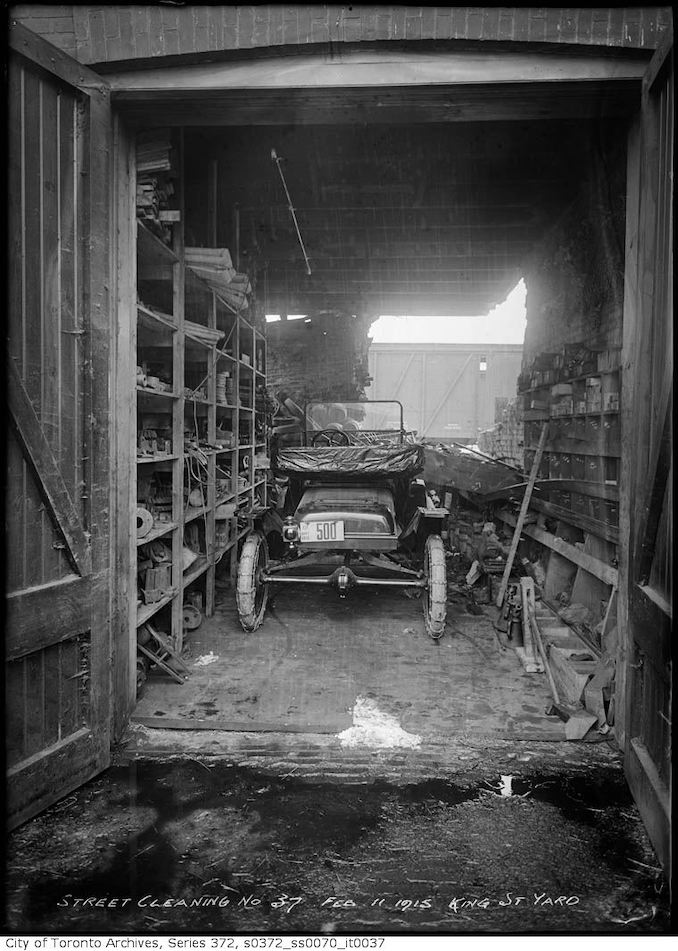
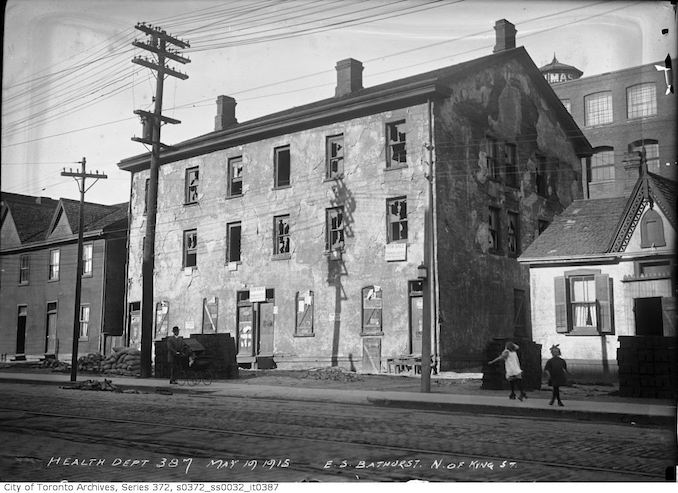
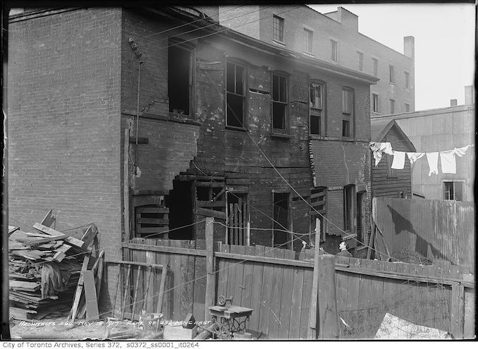
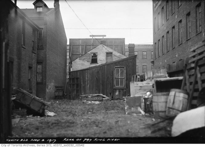
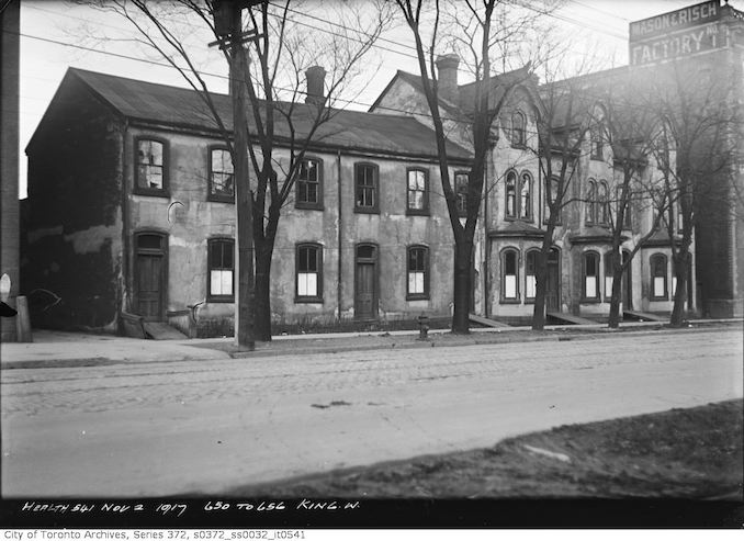
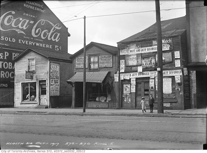
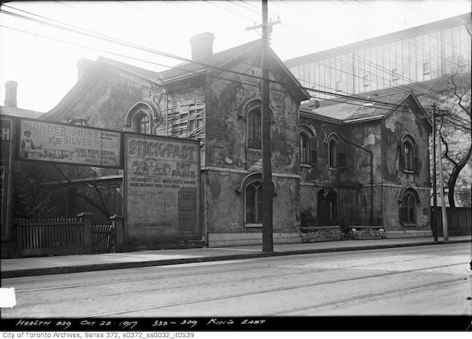
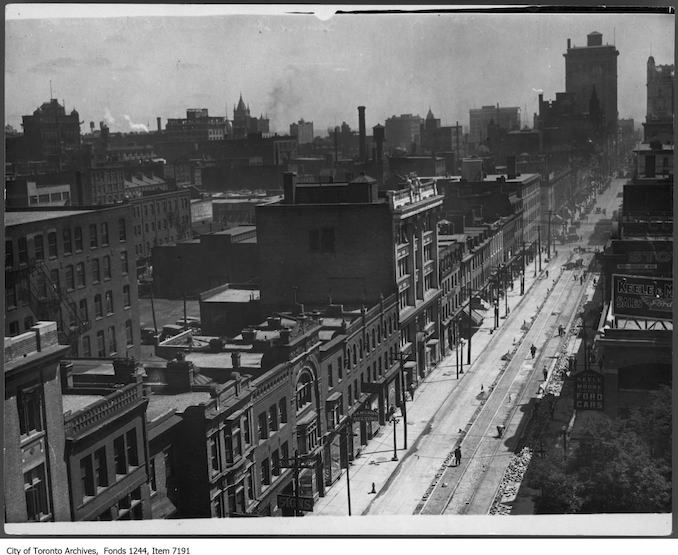
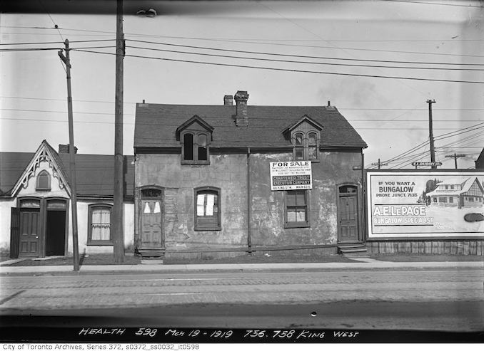
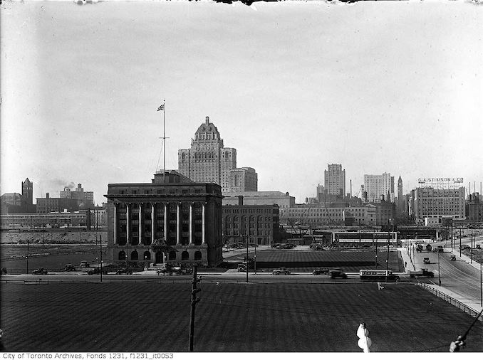
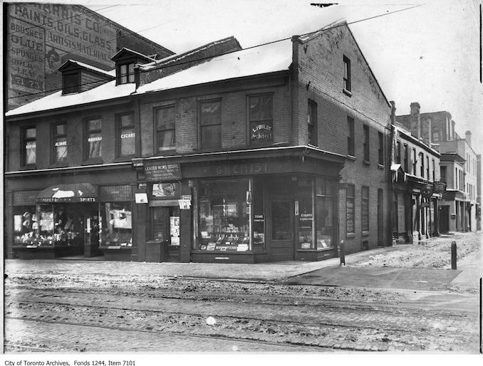
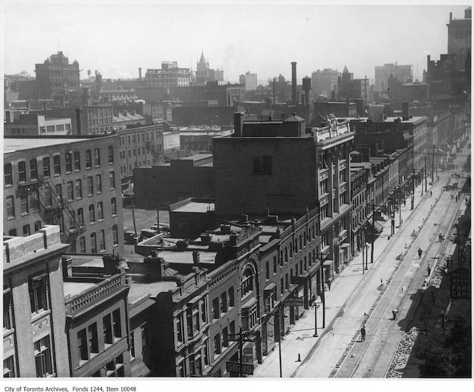
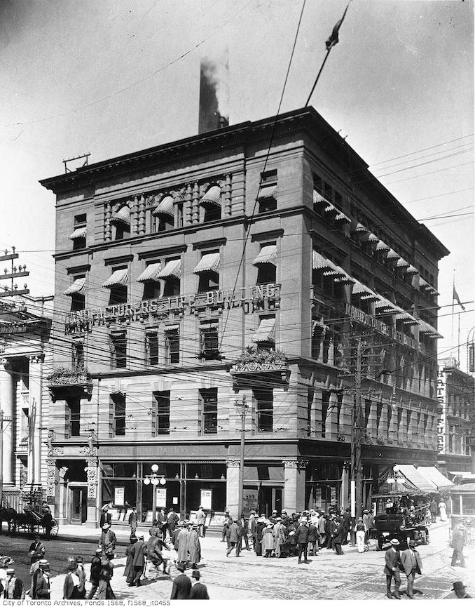
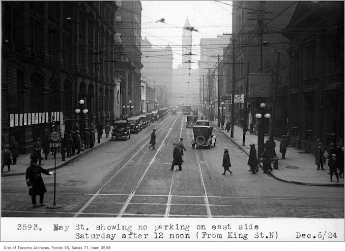
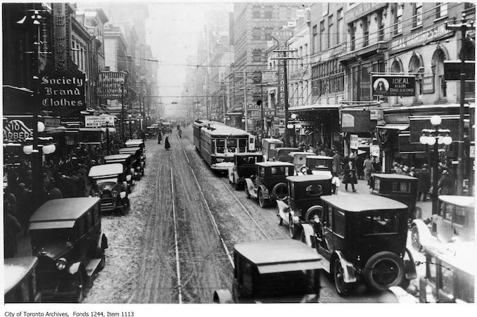
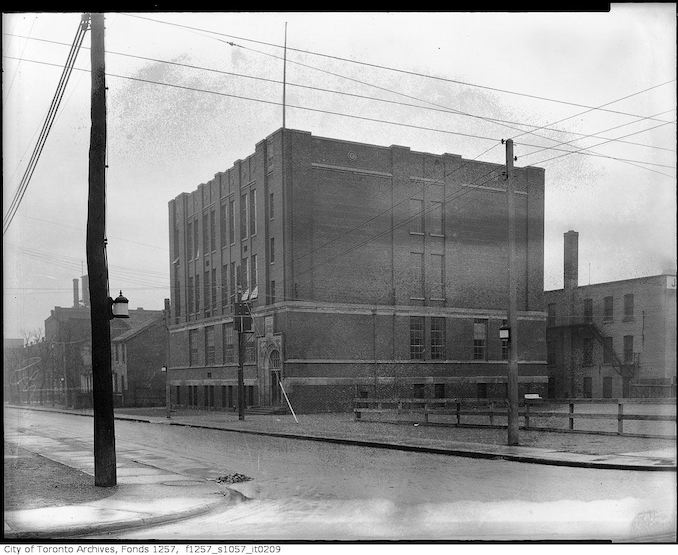
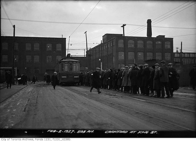
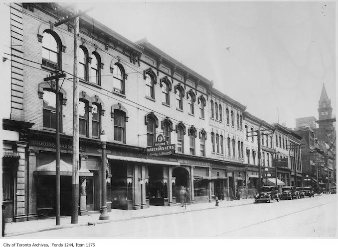
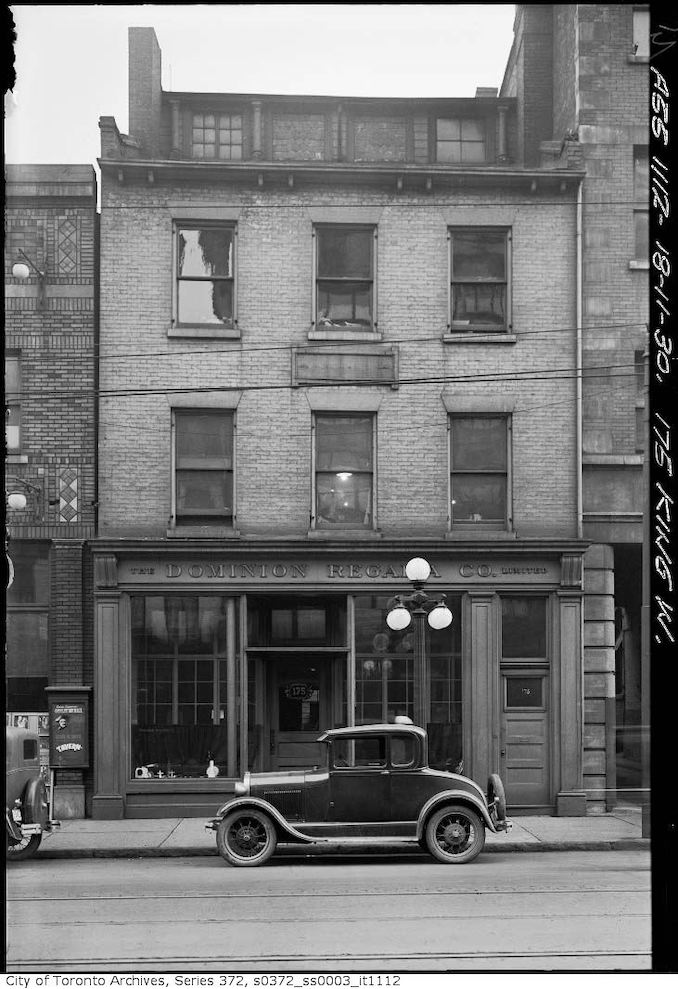
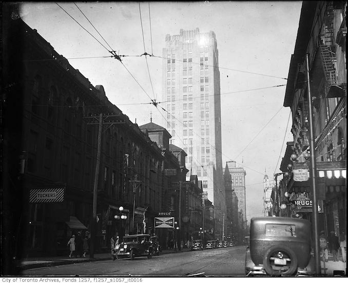
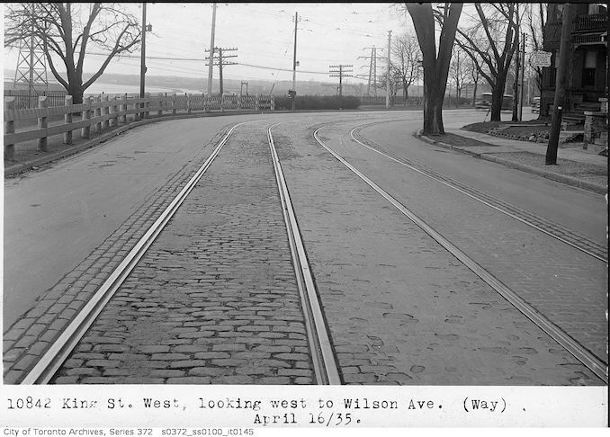
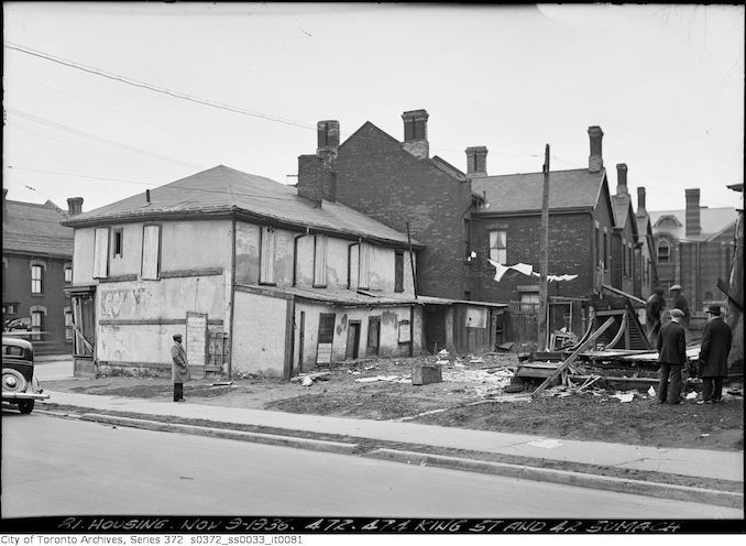
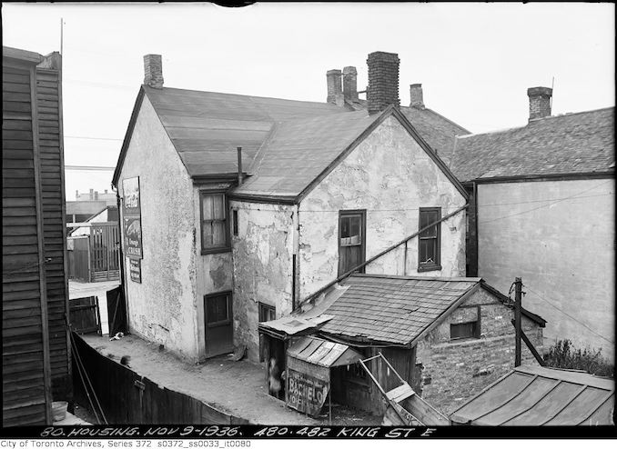
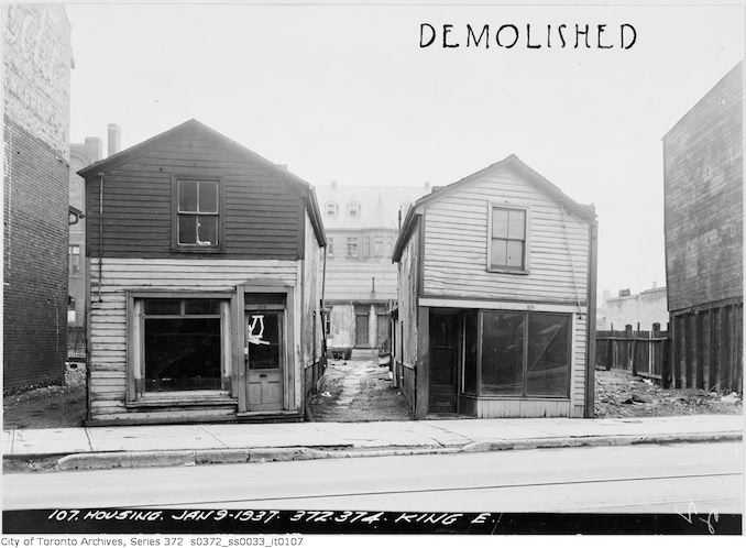
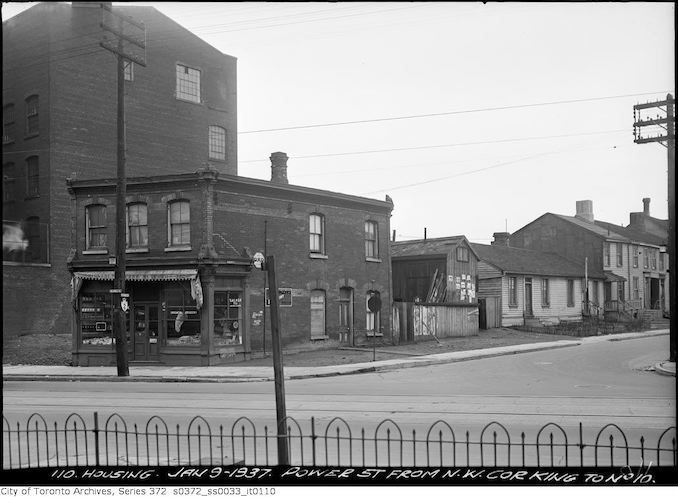
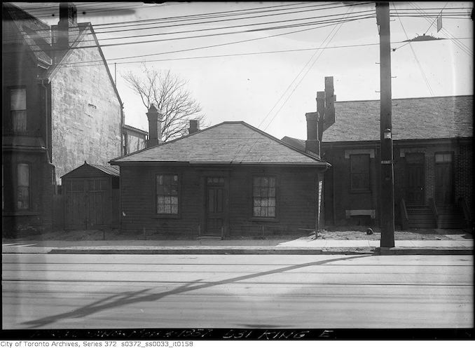
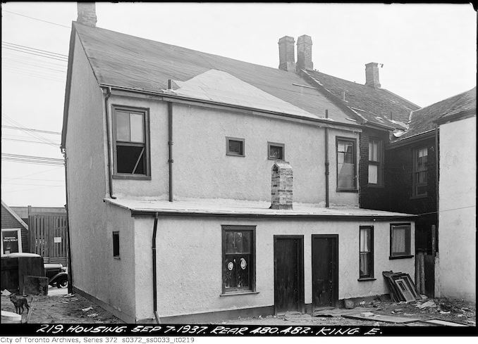
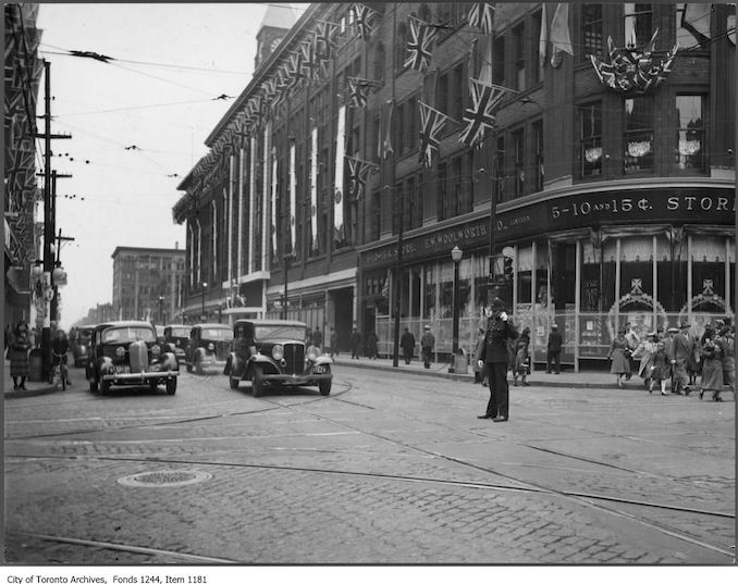
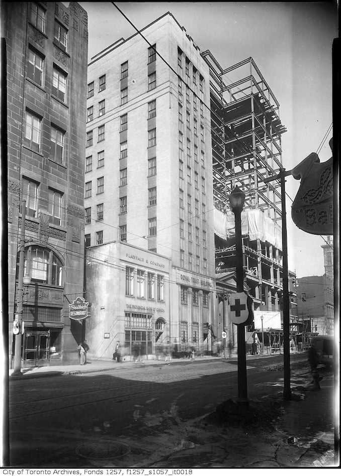
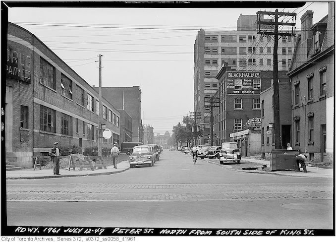
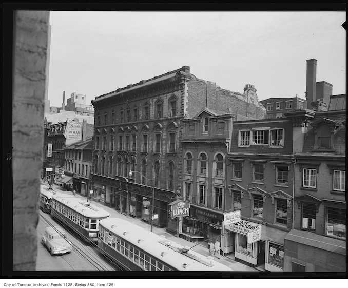
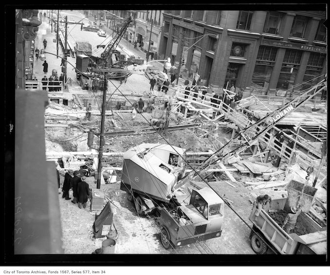
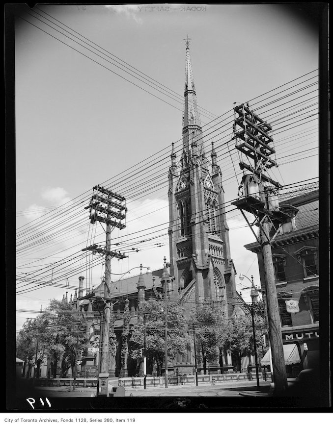
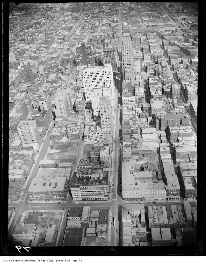
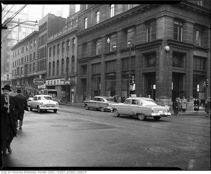
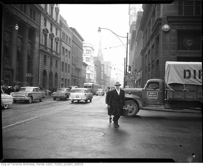
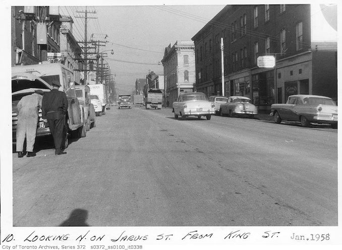
1834 – View of King Street East, drawing1835 – King looking east from Toronto Street, drawing1847 – King East looking east to Church; drawing1856 – King St. East, south-side between Yonge and Church streets, looking east1856 – King St. East, south-side, looking west.1866 – Northwest corner of Yonge and King streets1870 – 145 King Street East1875 – King St. at Yonge Street, looking east1885 – 1895 – King St. W., Toronto1885 – 1895 – King St. East, south side, east of Church Street1888 – Two horse car, taken at King and Queen Sts1890? – Interior of Bilton Bros ltd. mens clothing store at 103 King St. West. On the left is Thomas Bilton who started the firm in 18851890? – Taken from opposite #255 King St. West1890? – Yonge Street and King St.1897 – King St. – west from Yonge1900 – June 23 – King St. East at Don showing old and new grade1903 – November 2nd – King St. and Don Esplanade1903 – November 2nd – King St. and Don Esplanade copy1903 – November 12 – King St. and Cowan Avenue1903 – November 12 – King St east of Wilson1903 – November 12 – King St. opposite Wilson1903 – November 12 – King Street west of Beaty1903 – October 2nd – King St.Creator: Unknown 1903 – October 2nd – King St. and Don Esplanade1904 – March 9 – King St. east of Church Street1904 – March 9 – King St. east of Church Street1904 – March 9 – King St. east of Church Street1908 – The British Hotel at the north-east corner of Simcoe and King St.1910 – 1912 – King St. East at Yonge Street, looking east1910 – Bay Street , looking north from King St.1910 – September 12 – Close-up of Don Station (C.N.R.) Queen Street – King St. intersection1911 – January 29 – Slum interior, occupied – 318 King St. East1911 – November 24 – Sidewalk 66-68 King St. West1911 – October 16 – King St. looking east to Don Bridge from car barns1911 – October 18 – Yonge Street north from King 1301911 – Signs in window of the Toronto Star building, King St. West1912 – April 23 – King St. at St. Lawrence Street east to Don River1912 – Bay Street, looking north from King St. West1912 – February 23 – Interior of old house on north side of King St. East1912 – February 23 – Old building on King St. East near St. Lawrence1912 – February 26 – Interior, occupied – slum house on north side of King St. East1912 – Government House, Residence of Lieutenant Governor, King St. and Simcoe Street1912 – King St.1912 – King St. West, south side, looking east from York Street1912 – March 26 – Missing number. T.R. Co. Fire at King St. barn1912 – Northeast corner of King St. and Yonge Street1912 – September 16 – Bay Street looking south across King St.1912 – Two bank messengers, King St. West1912 – Two bank messengers, King St. West 21913 – June 4 – 512-516 King St. East1913 – The Molson Bank, Cawthra House, King St. and Bay Street1914 – April 30 – North American Life Building, No. 112-118 King St. West1914 – June 8 – King & Yonge1914 – June 8 – Southwest corner King and Yonge1914 – June 11 – King and Yonge1914 – September 17 – King St. and Queen Street intersection, Sunnyside, Ocean House Hotel1915 – February 11 – King St. yard1915 – May 19 – East side Bathurst Street north of King St.1917 – May 15 – Rear of 234 King St. East1917 – November 2 – Rear view of slum at 797 King St. West1917 – November 2 – Slum Housing – 650-656 King St. West1917 – October 1 -Condemned houses 372 to 376 King St. East1917 – October 22 – 355 – 359 King St. East1917 – September 28 – Condemned house – 575 King St. West1919 – King St., looking east toward York Street1919 – March 19 – 756-758 King St. West1919 – September 10 – Aerial view of Toronto from south of Toronto Harbour Commission building – King St. East at Bay Street1920 – King St. at Leader Lane1920 – King St. West, looking northeast from Simcoe Street1920 – Manufacturers Life Building, Yonge Street at King St. West, north-west corner1924 – Bay St, showing no parking, on east side, Saturday, after 12 noon1924 – December 24 – Noon hour traffic, Yonge Street looking north from King St.1927 – 1947 – Brant Street Public School1927 – February 2 – Crawford Street at King St. 505pm Streetcar line up1927 – North side of King St. West, looking east to Bay Street1930 – November 18 – 175 King St. West – University Avenue Extension1930? – King St. West near York Street1935 – April 16 – King Street West, looking west to Wilson Avenue1936 – November 9 – 472-474 King St. & 2 Sumach Street1936 – November 9 – 480-482 King St. East1937 – January 9 – 372-374 King St. East1937 – January 9 – Power Street from northwest corner of King St. to NO. 101937 – March 3 – 531 King St. East1937 – September 7 – 480, 482 King St. East1939 – Queen Street West, looking west from Yonge Street1940? – King St. West and Bay Street1949 – July 12 – Peter Street north from south side of King Street.1950 – King St. West1950 – March 18 – Road work, Yonge Street at King St.1950 – St. James Cathedral at 106 King Street East1950? – Aerial view of downtown Toronto, looking east along King Street1950? – King St. East and Yonge Street1950? – King Street East near Yonge Street1958 – January – Jarvis Street looking north from King St.