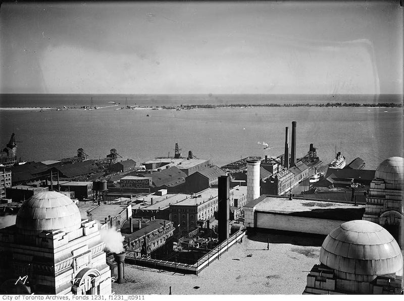
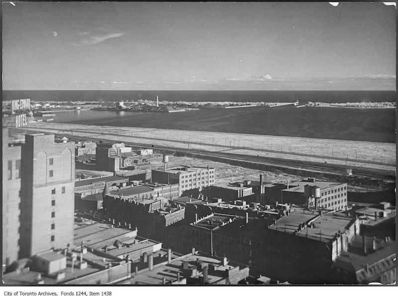
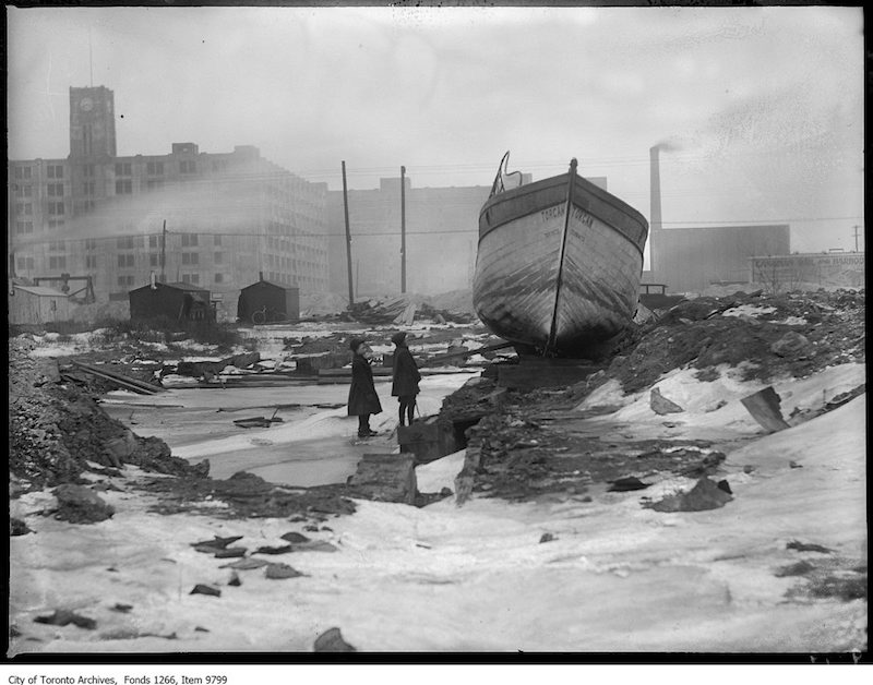
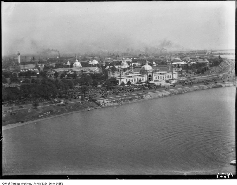
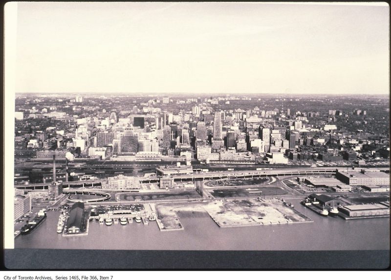
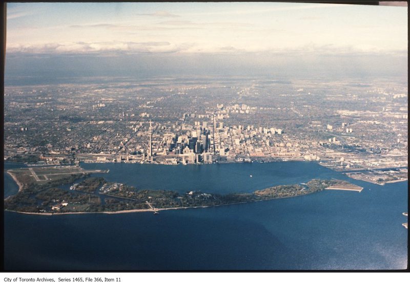
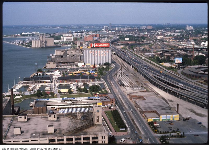
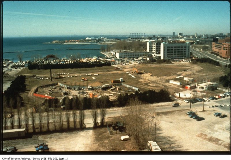
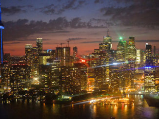
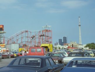
While browsing the Toronto Archives and the Toronto Public Library Archives, I found a lot of great images taken along our city’s waterfront. From 1856 until 1999, these images illustrate how the Toronto waterfront has grown and, in detail, show the many changes that have occurred there.
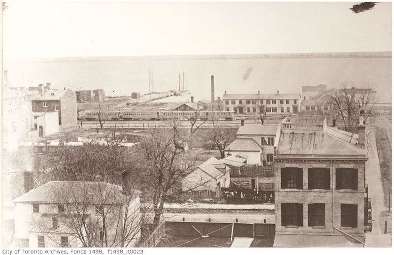
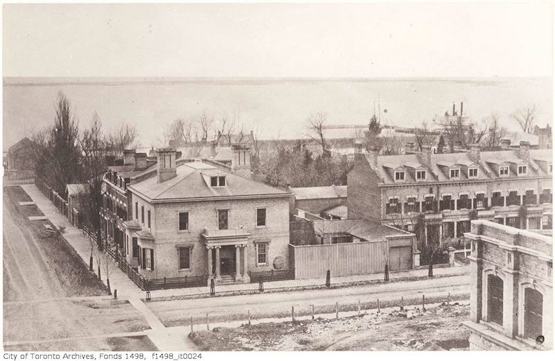
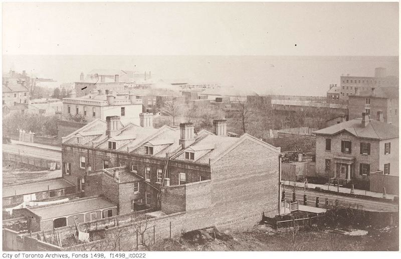
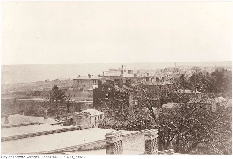
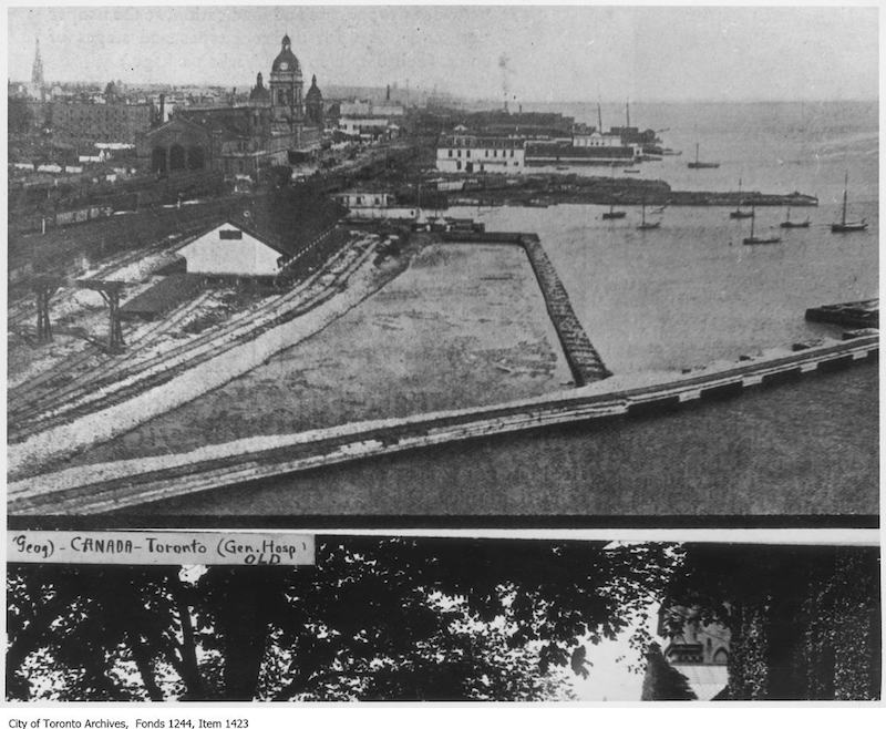
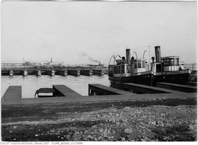
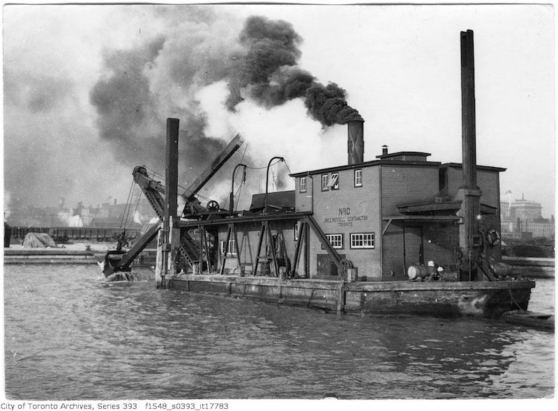
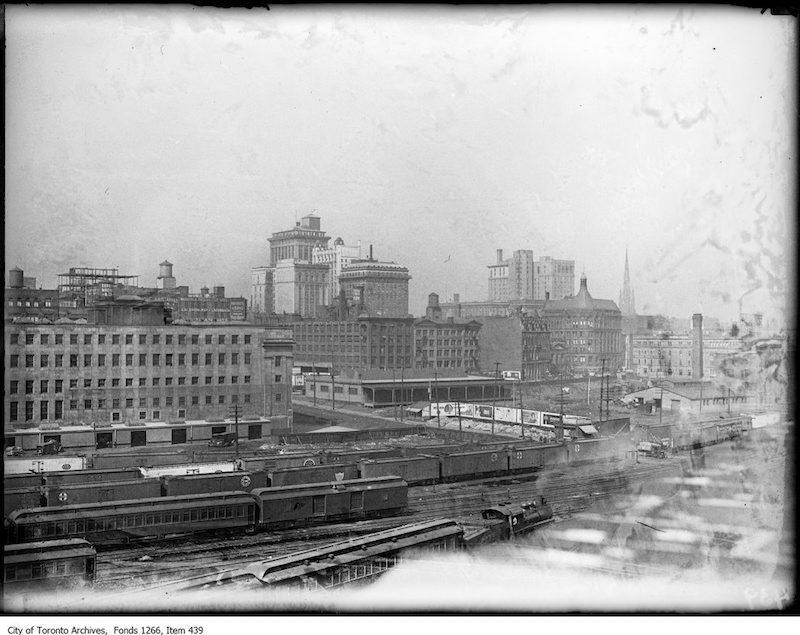
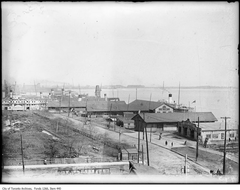
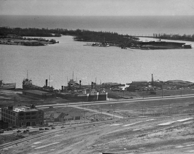
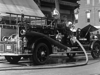
Some of my favourite images include the first 3 which are part of a greater collection of cityscapes from Toronto taken in the year 1856. The dredge reminds me of the work we did to form the lands of our city and the infrastructure change throughout the images shows the transportation we built to get people around them.
I have included some of my favourite images as well as the descriptions I could find.
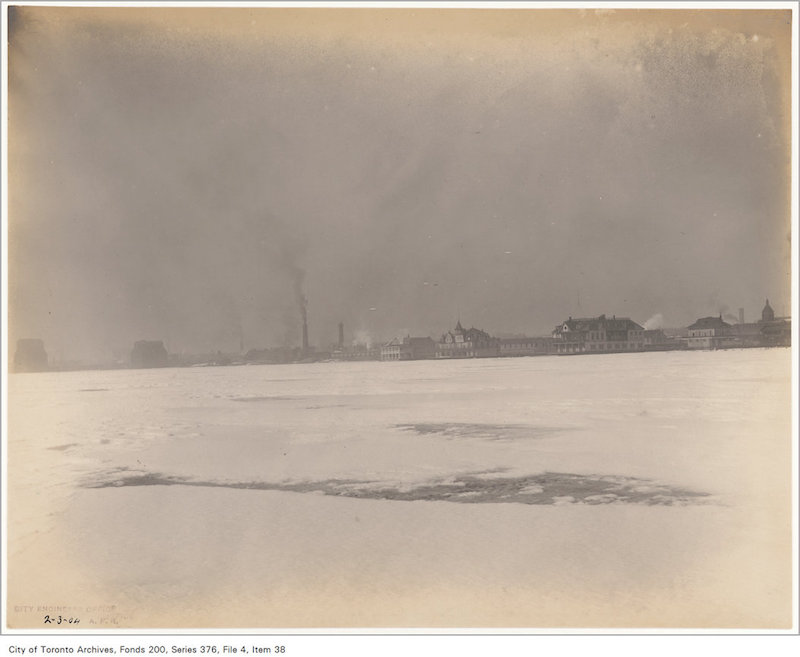
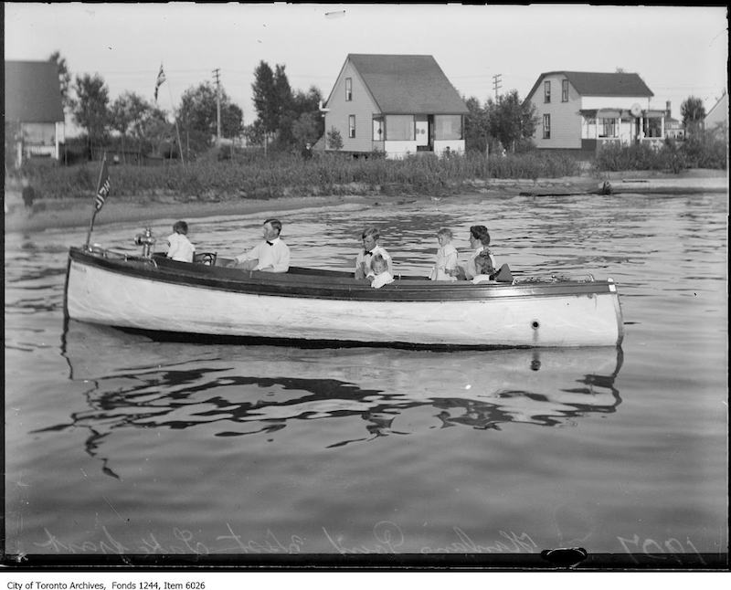
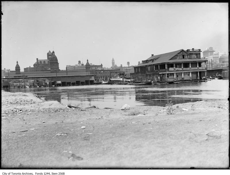
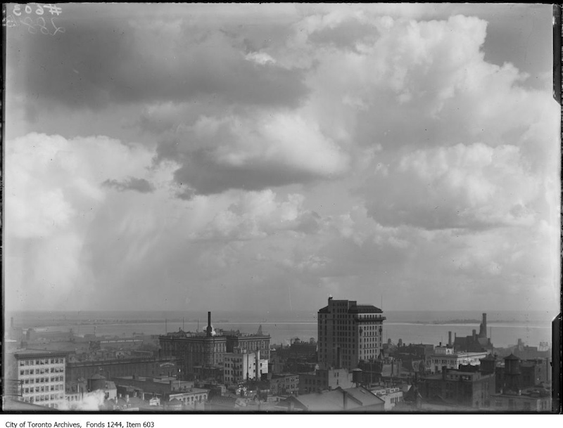
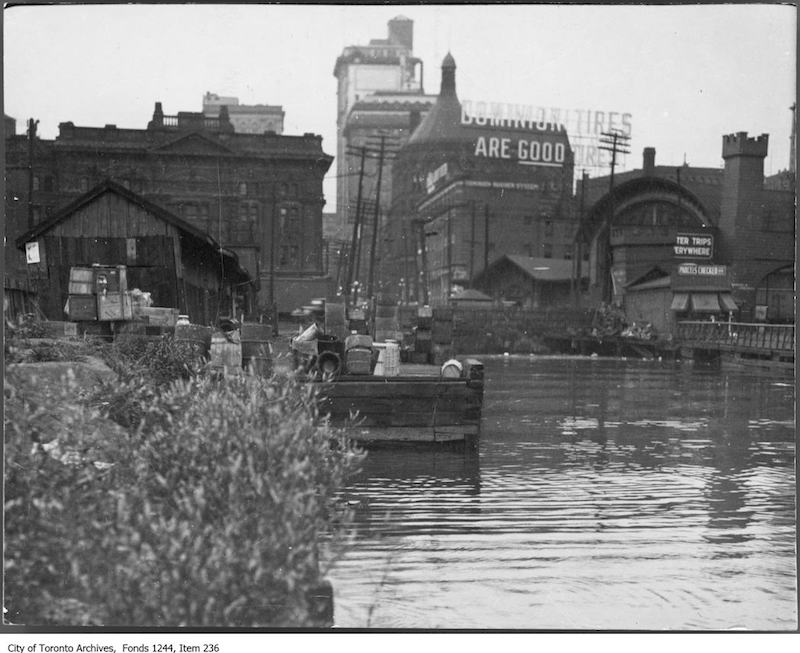
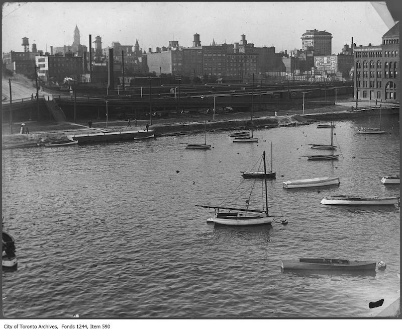
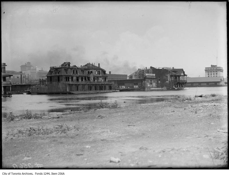
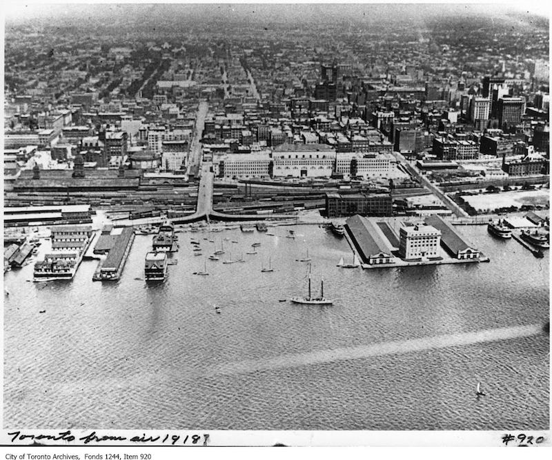
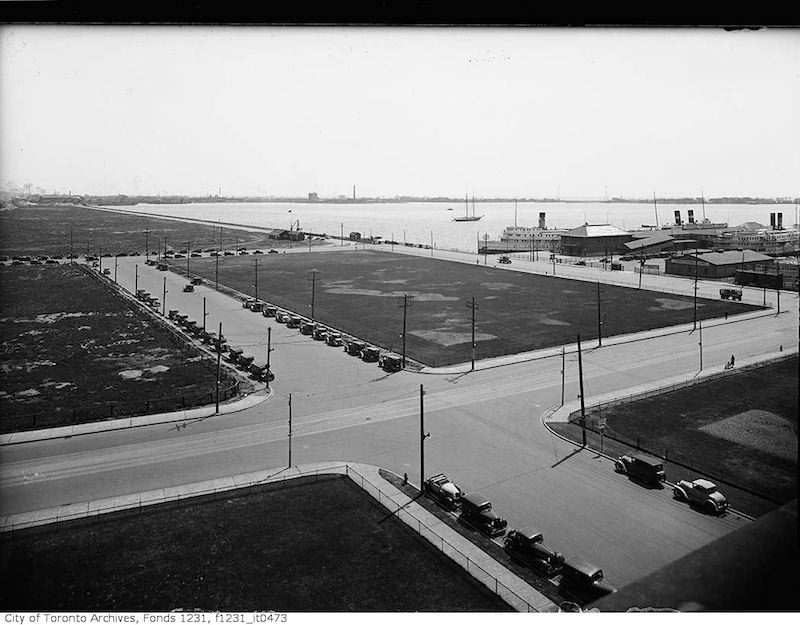
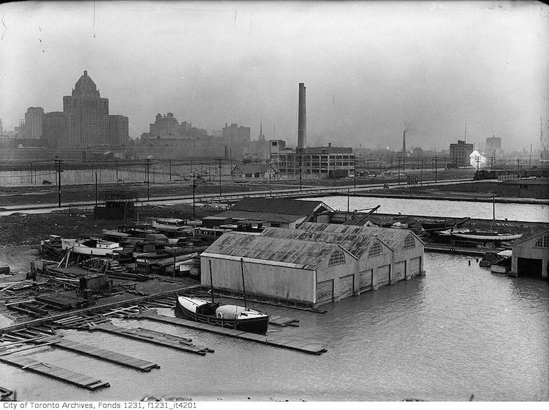
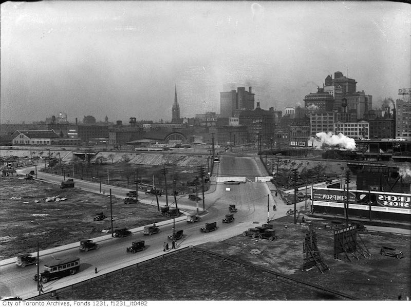
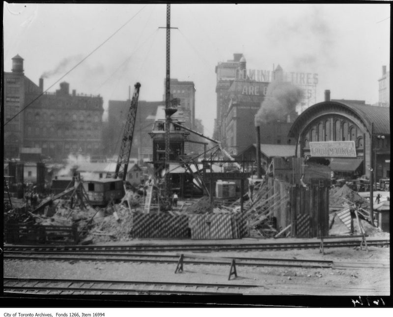
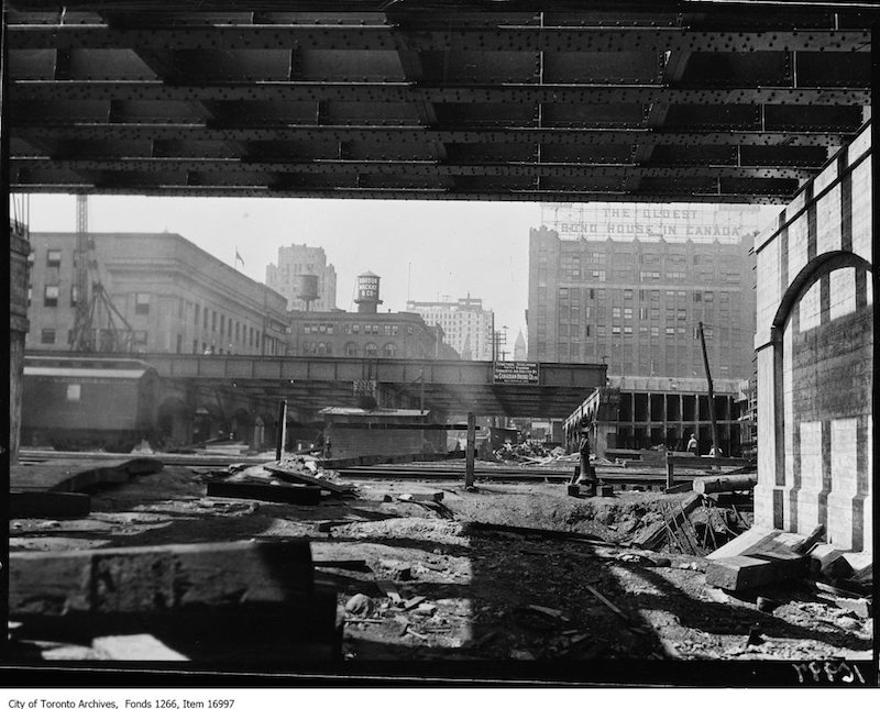
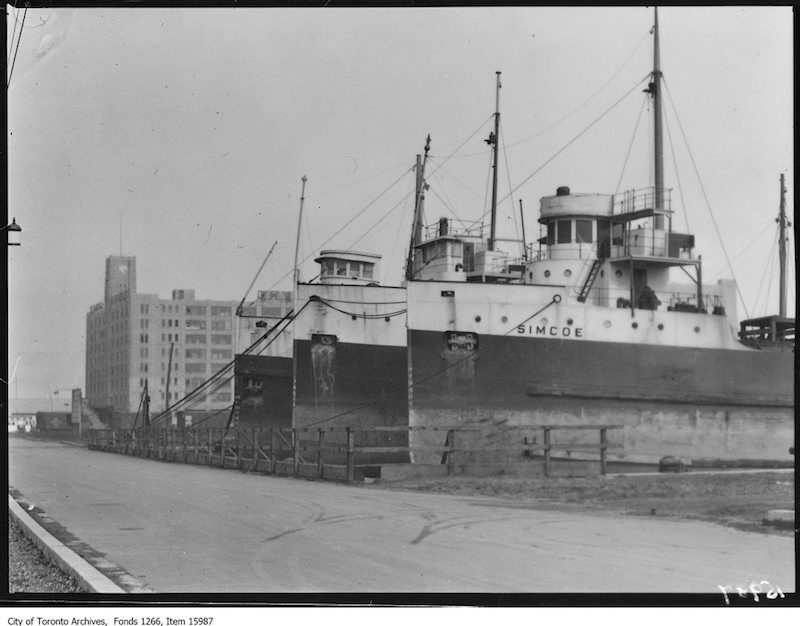
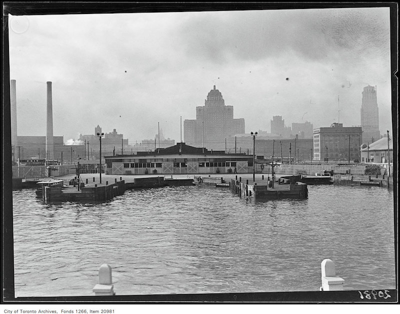
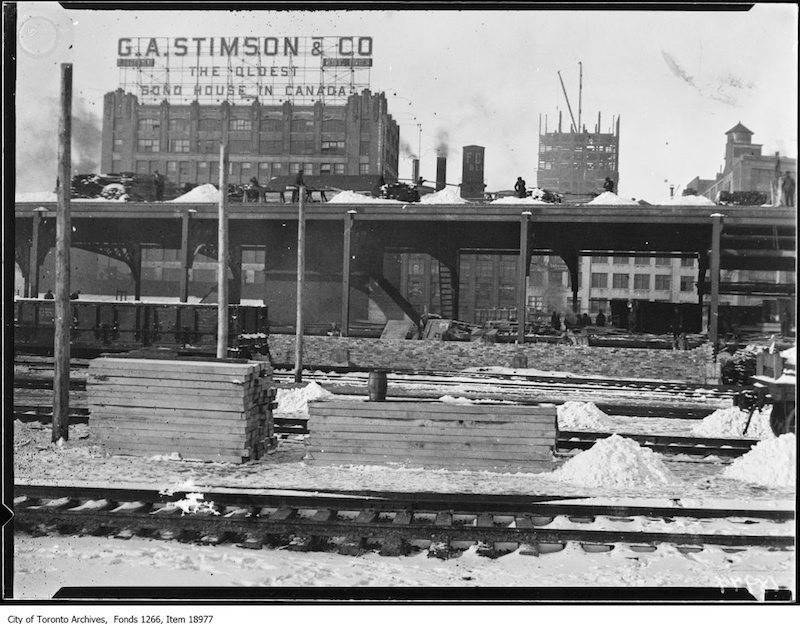
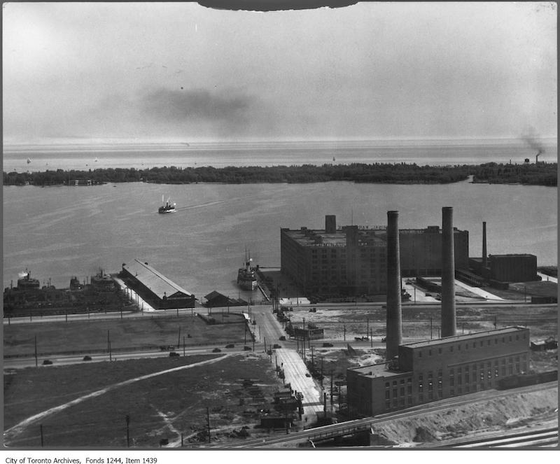
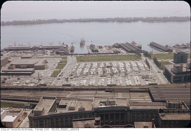
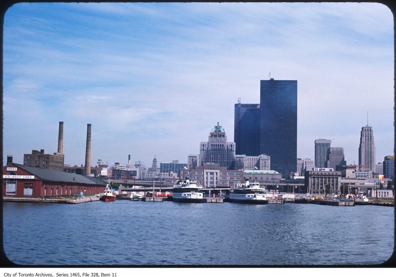
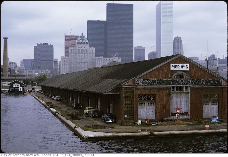
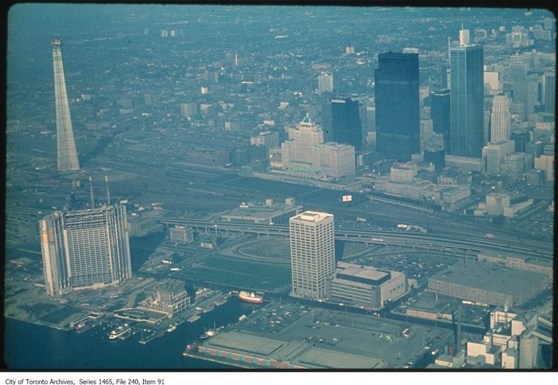
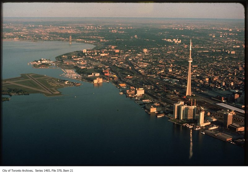
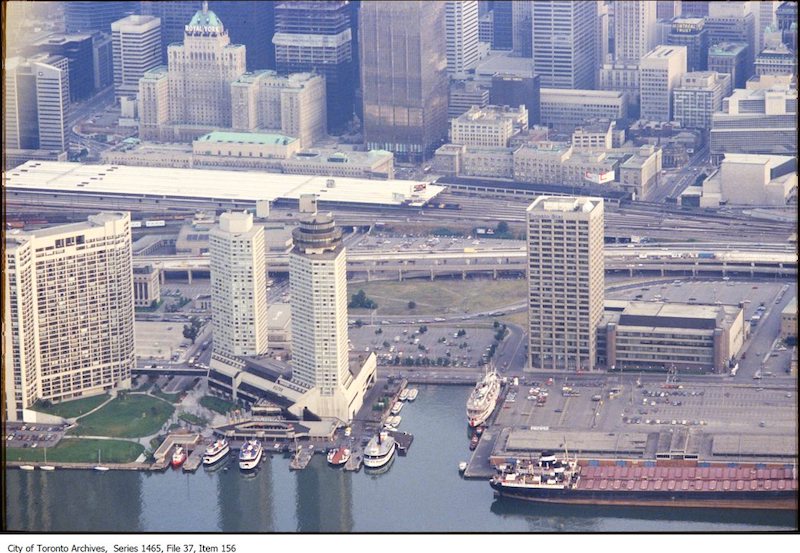
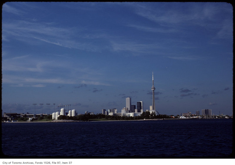
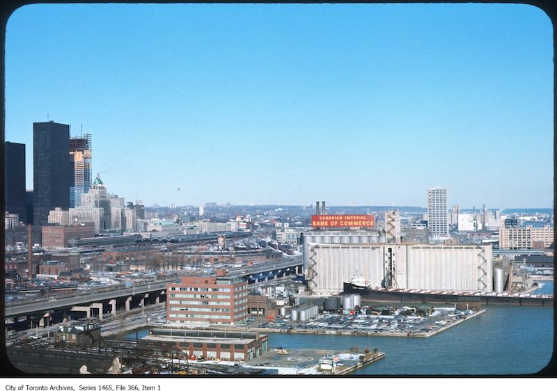
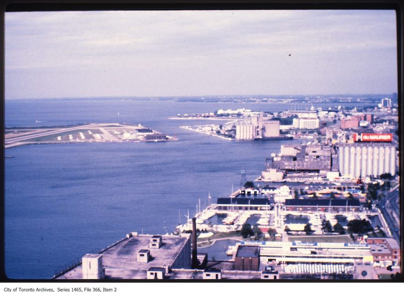
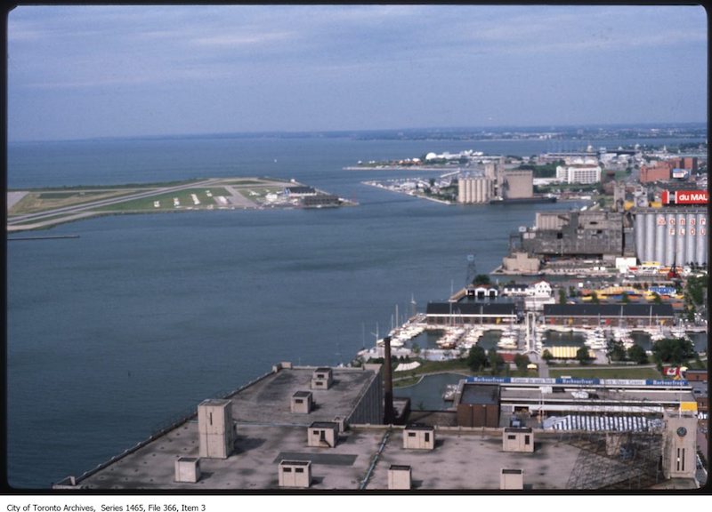
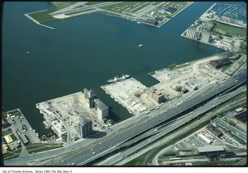
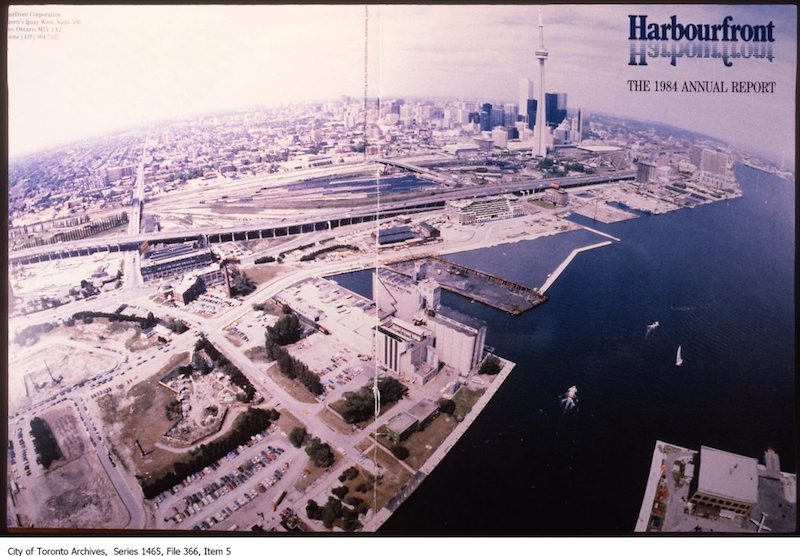
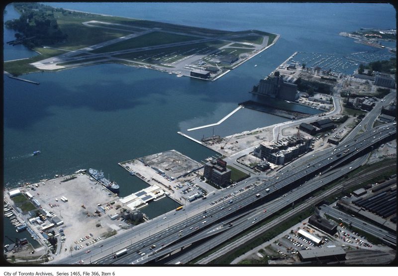
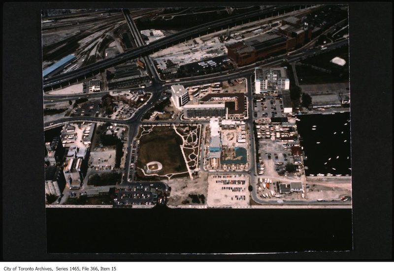
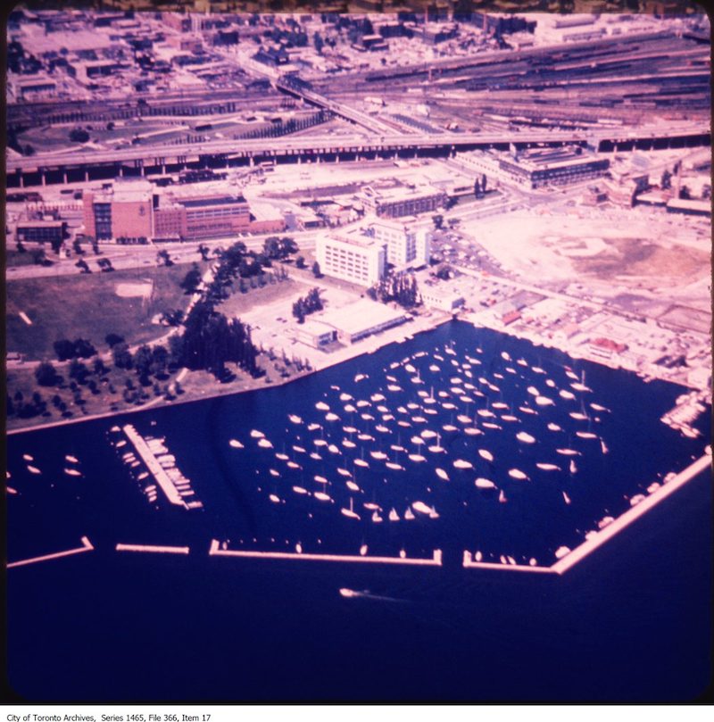
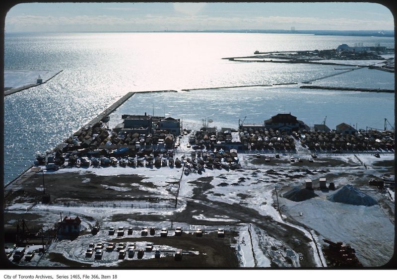
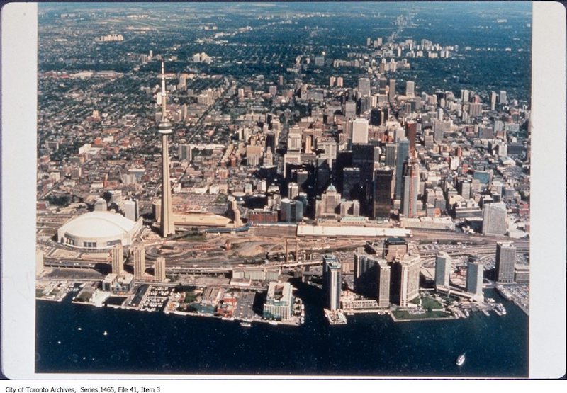
1856 – Toronto from the top of the Rossin House Hotel – looking south1856 – Toronto from the top of the Rossin House Hotel – looking south 21856 – Toronto from the top of the Rossin House Hotel – looking south-east1856 – Toronto from the top of the Rossin House Hotel – looking south-west1900? – Toronto waterfront1904 – march 2nd – Waterfront from the Bay1907 – Hanlan’s Point west waterfront1910 – 1914 – Toronto waterfront at foot of York Street1910? – Looking south to waterfront1010 – Waterfront at Yonge St wharf grows weeds while question of viaduct remains unsettled.1913 – Waterfront at York Street1914 – The building to the right was the Royal Canadian Yacht Club (1894-1896). The Toronto Harbour Commission building is at extreme right.1918? – Aerial view of Toronto waterfront1920 – Aerial view of Toronto waterfront (Envelope says Yonge St. north at Montgomery Avenue)1920 – Toronto waterfront1922 – Boats docked at Toronto waterfront1922 – Toronto waterfront – dredge at work1923 – April 5 – Skyline from waterfront1923 – april 5 – Waterfront with boats, bird’s-eye view1923 – Toronto waterfront and Island1926 – Panorama of Toronto waterfront looking east to Bay Street1926 – Waterfront from Royal Bank Building, King and Yonge streets, looking southeast1927 – Waterfront, abandoned boat, warehouse in background1928 – C.N.E., women’s swim, air views, general waterfront, Ontario Bldg1929 – Aerial view of Toronto from waterfront1929 – Viaduct work, view from foot of Yonge Street1929 – Viaduct work, view from under Bay Street subway1929 – Waterfront, line of boats and warehouse in background1930 – Toronto waterfront, ferry docks from water1930 – Viaduct work, train sheds, from foot of Bay Street1936 – Waterfront at foot of York Street from Royal York Hotel1959 – Toronto waterfront1969 – 1976 – Waterfront looking north to Royal York1973 – Pier No. 6, Toronto waterfront1977 – Waterfront looking north to city core from above1980 – 1986 – Central waterfront looking west1980? – Aerial photograph looking north from waterfront to Royal York Hotel1981 – View of Toronto waterfront from Lake Ontario1981-1988 – waterfront Harbourfront/Bathurst Quay.1981-1988 – waterfront Harbourfront/Bathurst Quay1981-1988 – waterfront Harbourfront/Bathurst Quay1981-1988 – waterfront Harbourfront/Bathurst Quay1981-1988 – waterfront Harbourfront/Bathurst Quay1981-1988 – waterfront Harbourfront/Bathurst Quay1981-1988 – waterfront Harbourfront/Bathurst Quay1981-1988 – waterfront Harbourfront/Bathurst Quay1981-1988 – waterfront Harbourfront/Bathurst Quay1981-1988 – waterfront Harbourfront/Bathurst Quay1981-1988 – waterfront Harbourfront/Bathurst Quay1981-1988 – waterfront Harbourfront/Bathurst Quay1981-1988 – waterfront Harbourfront/Bathurst Quay1990? – waterfront