I found a bunch of cool vintage Toronto maps on the Toronto archives and the Toronto Public Library archives. Maps of specific neighbourhoods, plans for the city, the Toronto Islands and Toronto Harbour, as well as maps of statistical data can be found in abundance online or in person at the archives.
Let us know through social media if you find anything interesting worth noting.
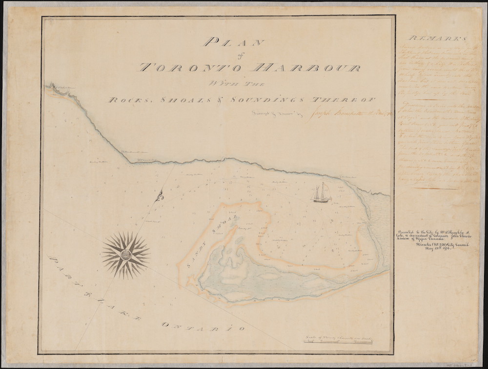
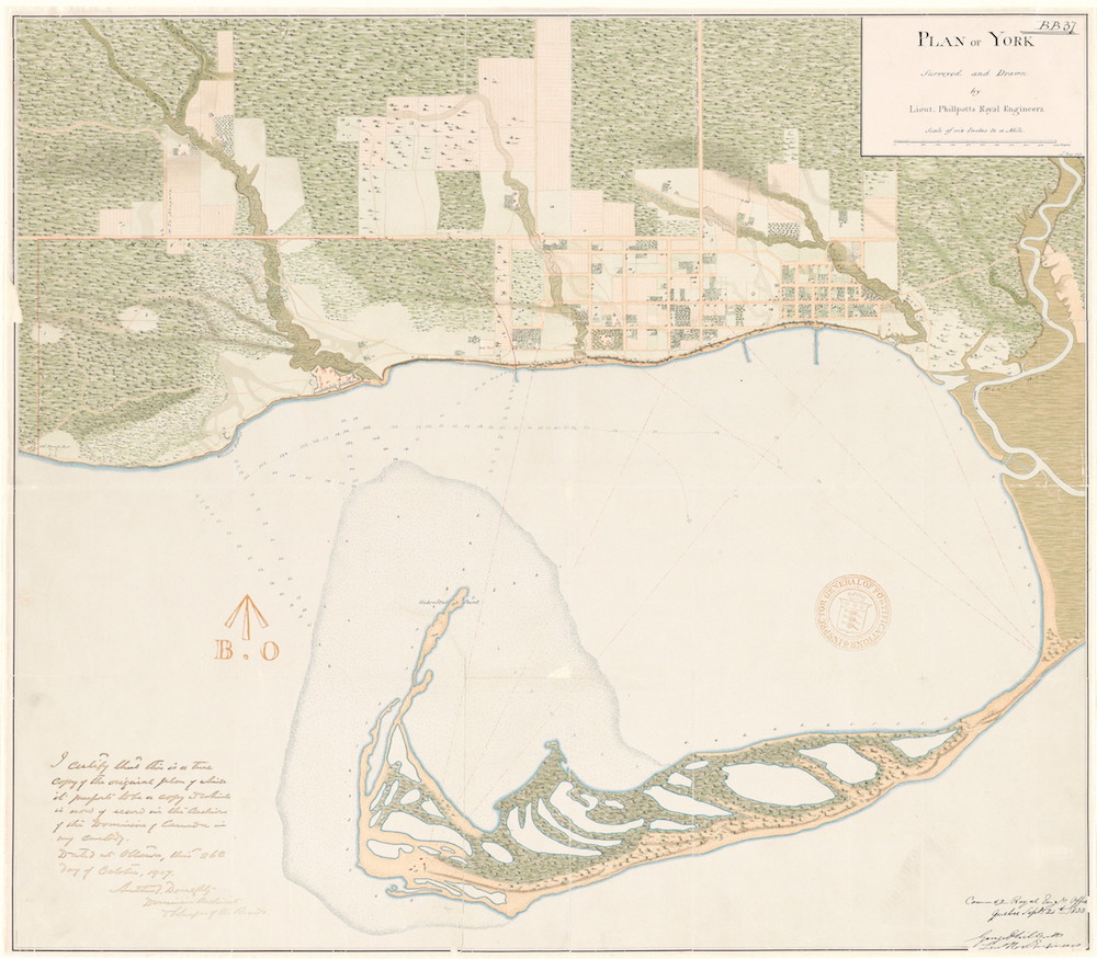
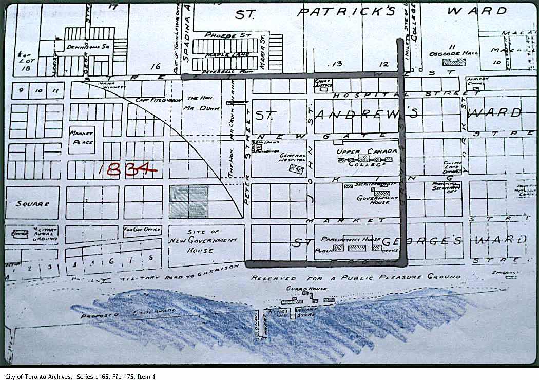
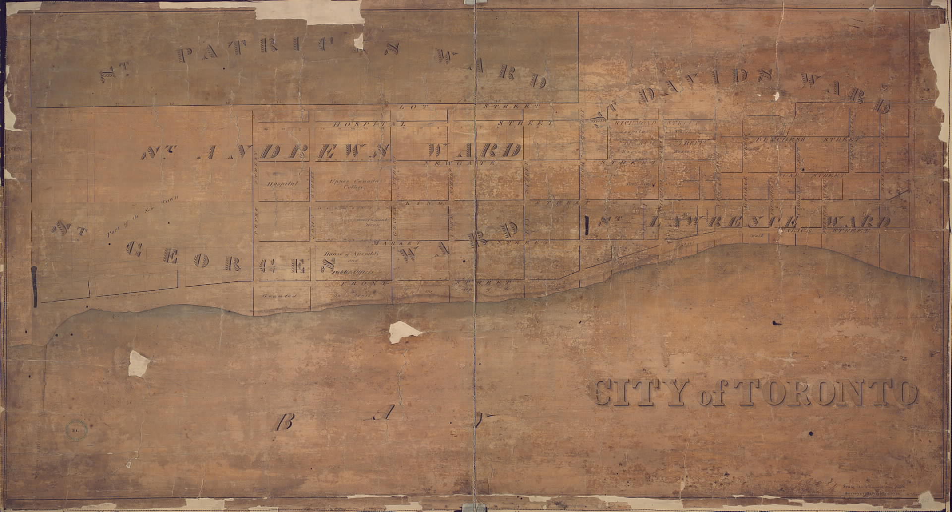
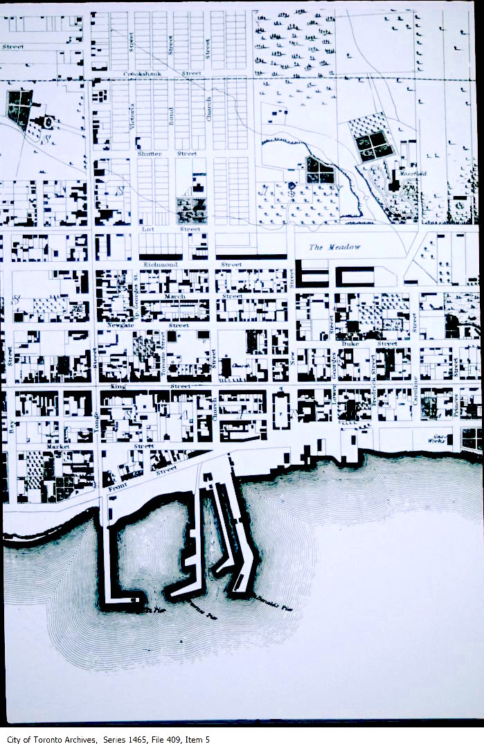
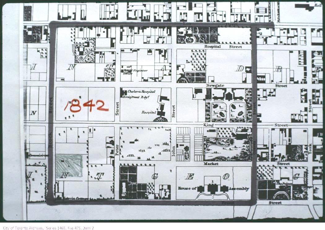
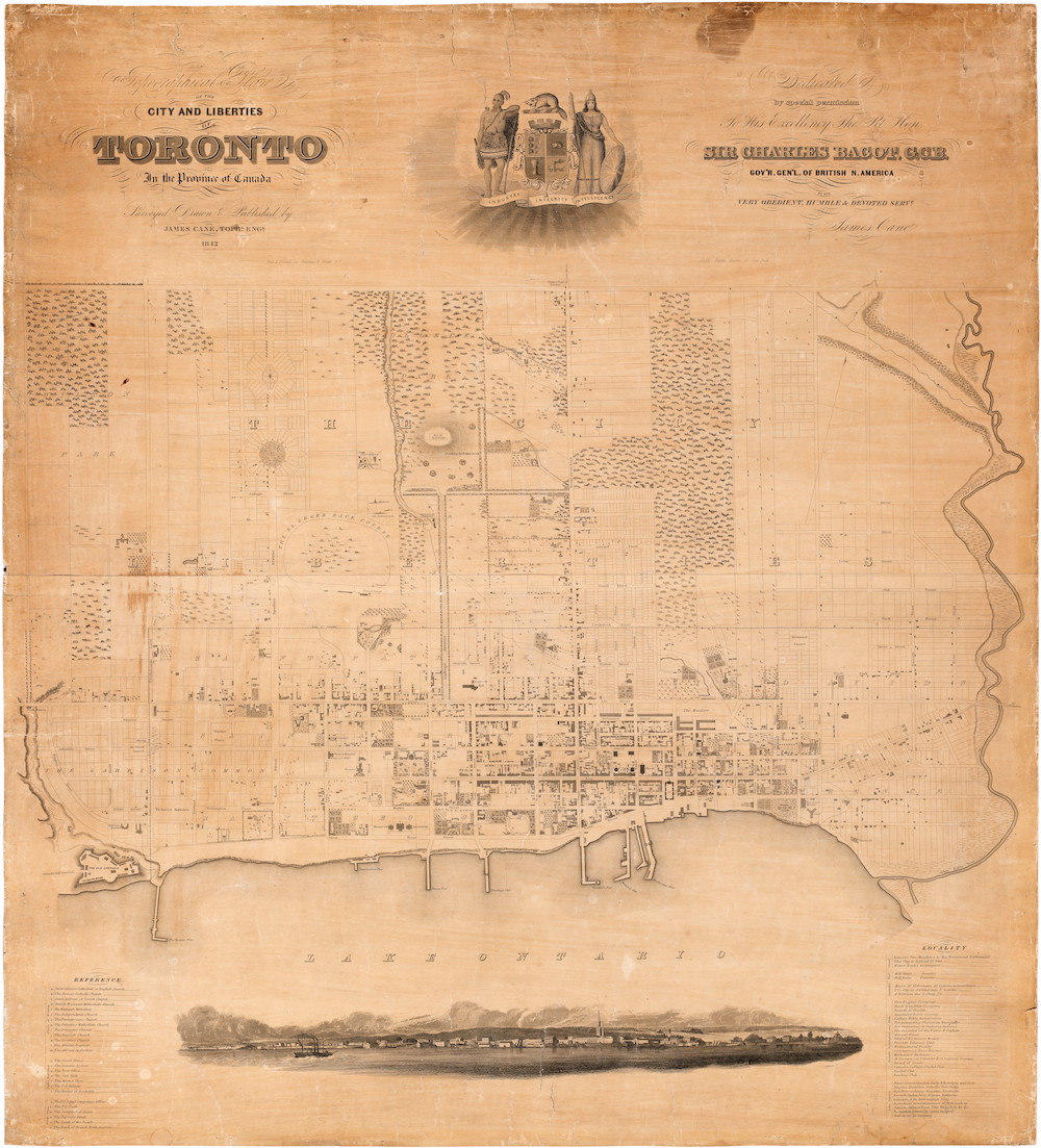
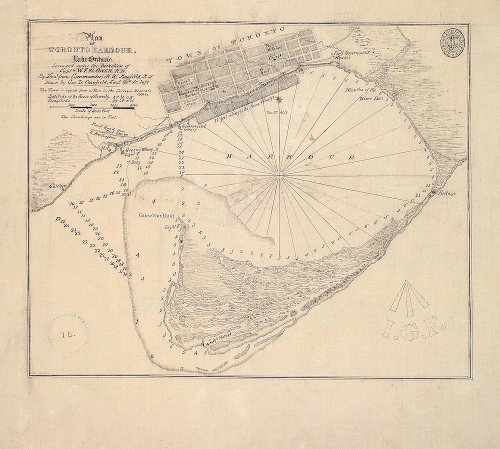
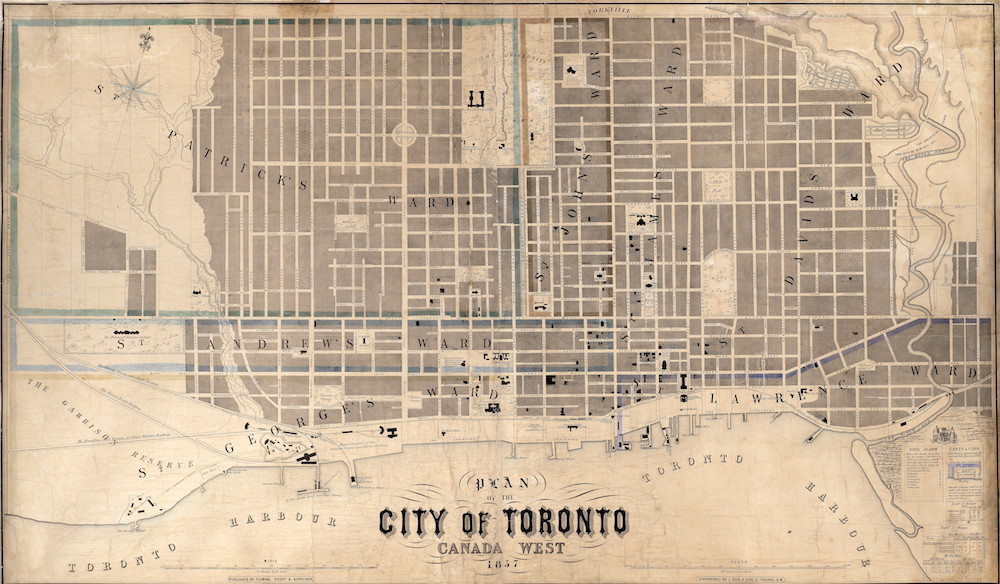
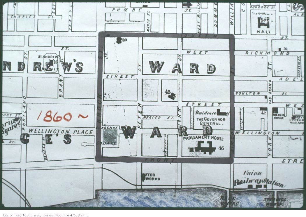
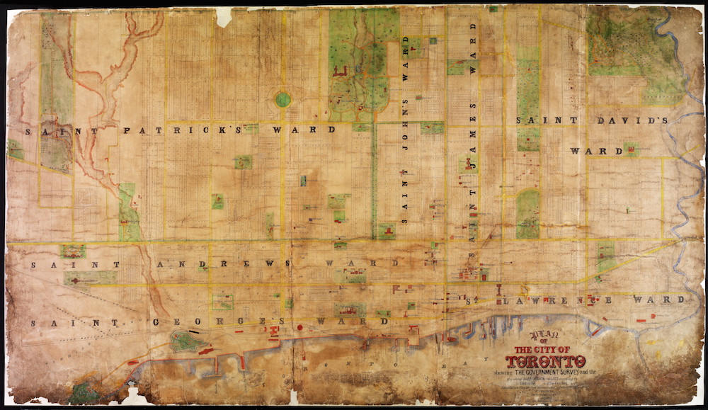
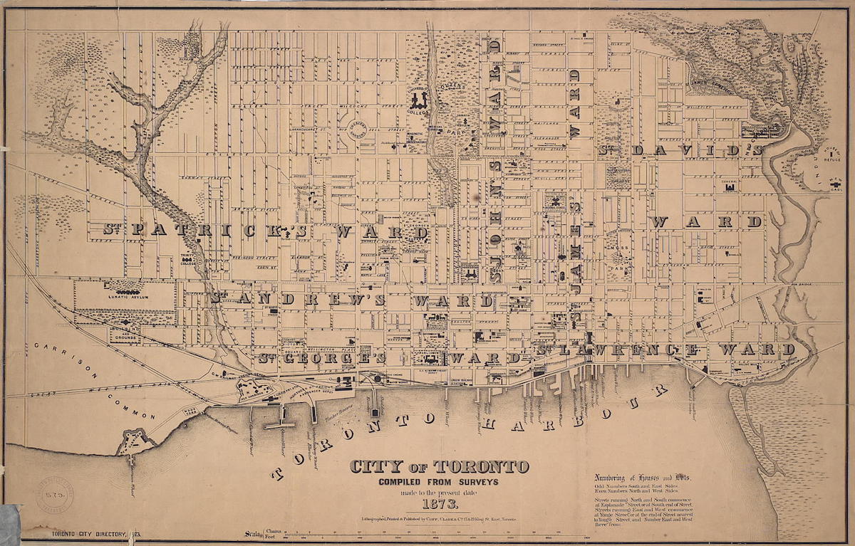
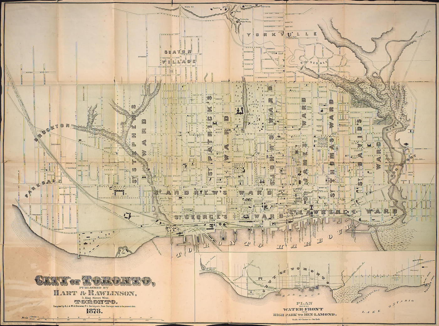
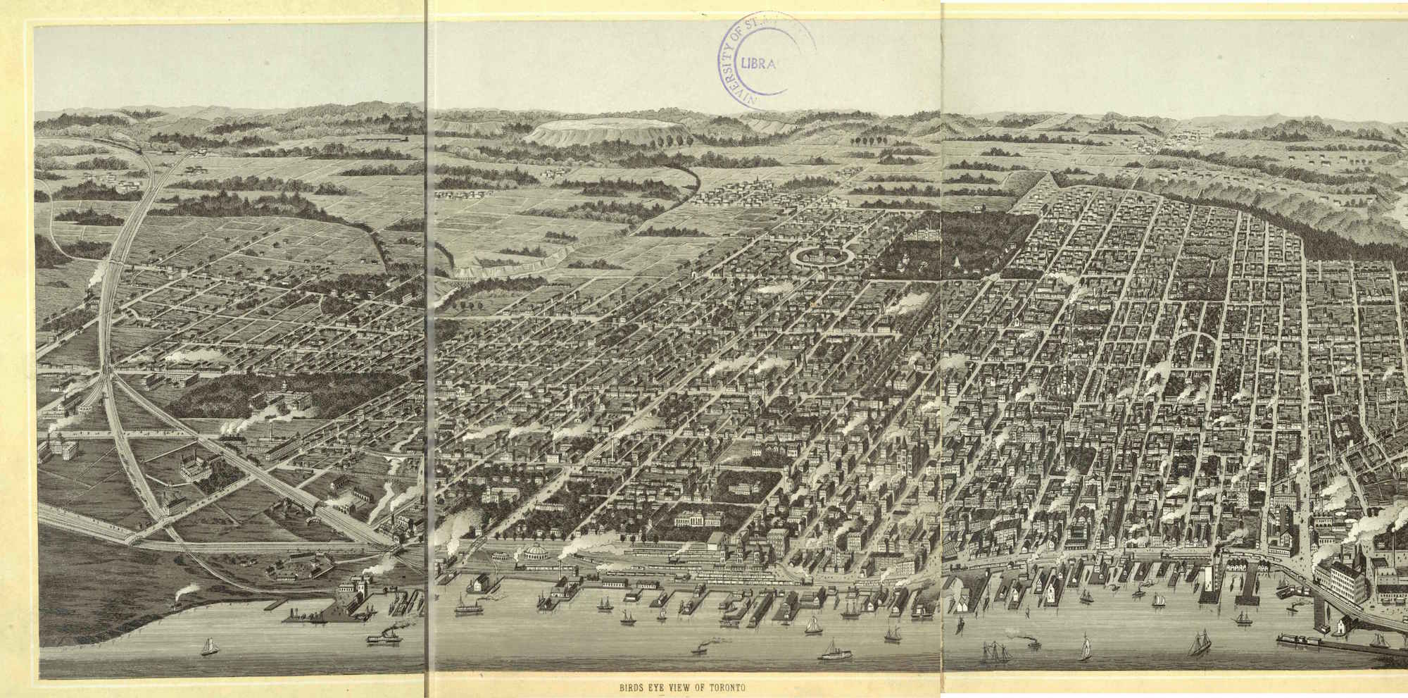
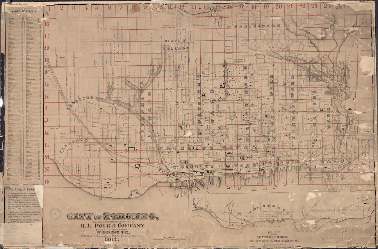
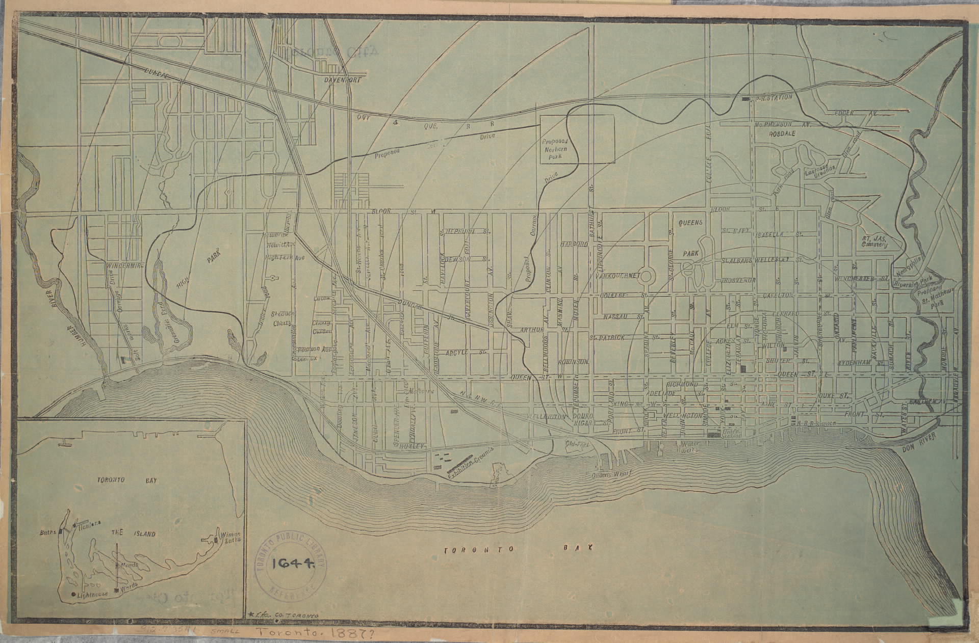
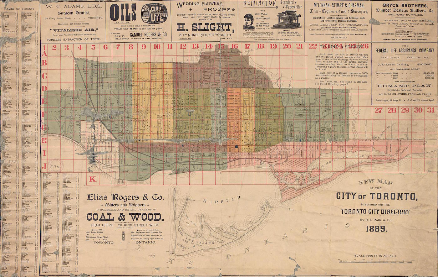
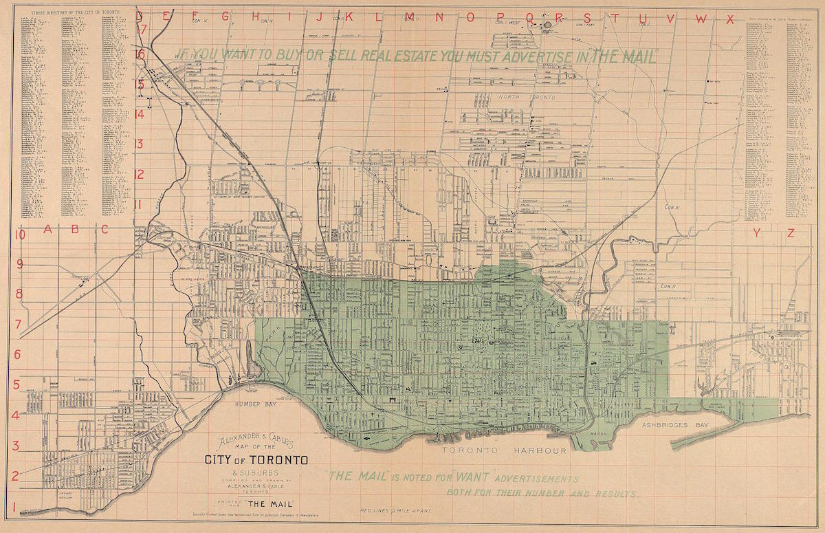
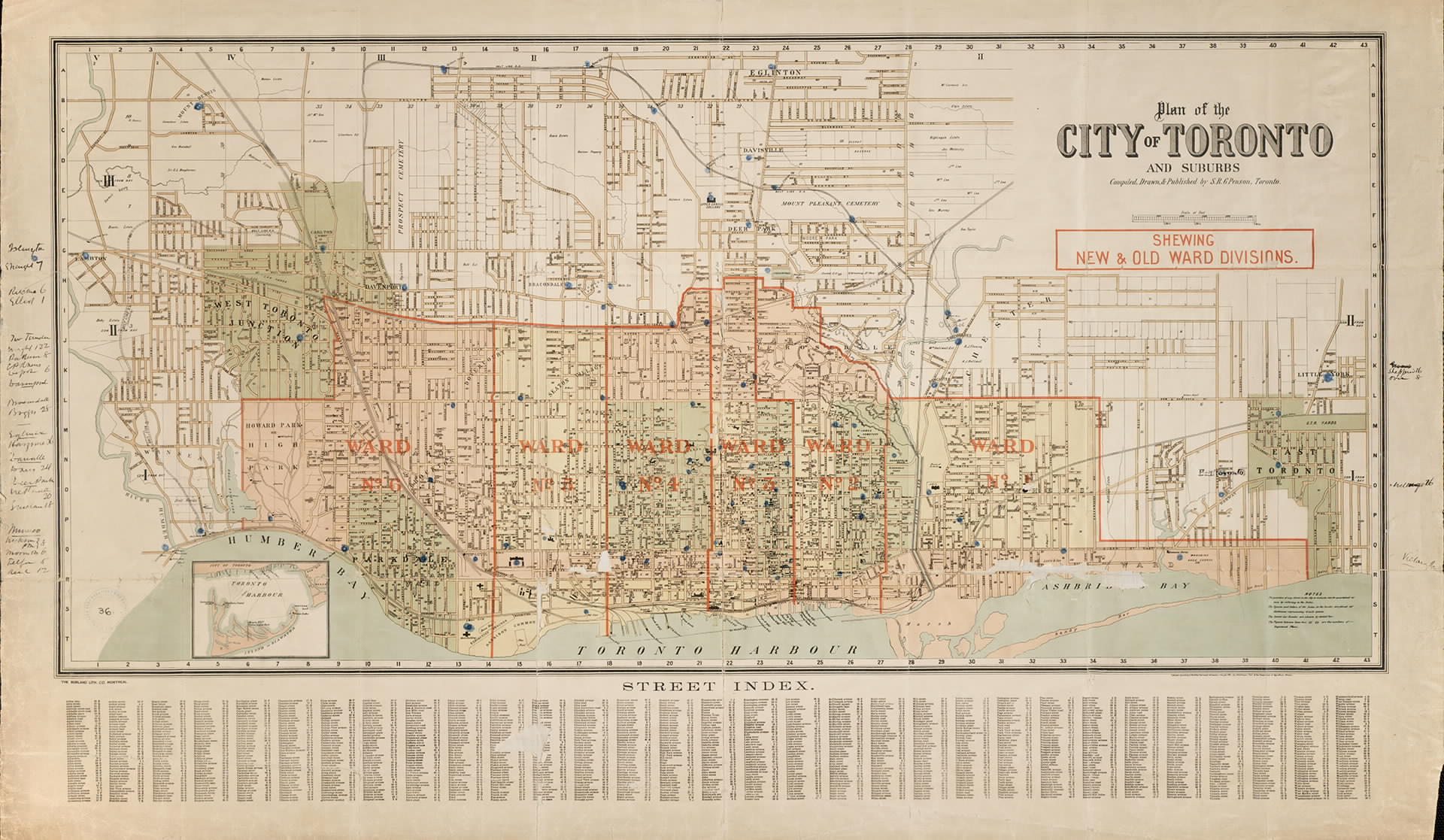
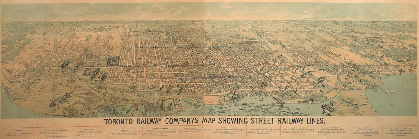
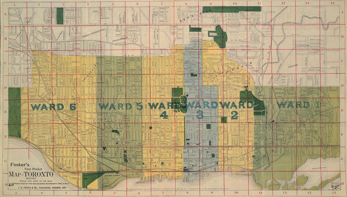
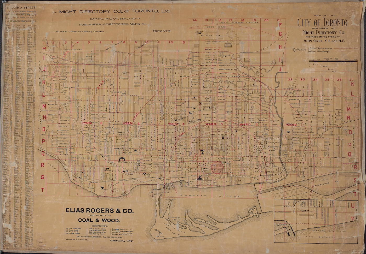
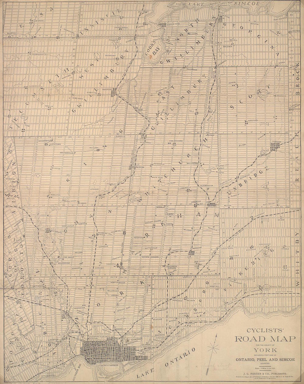
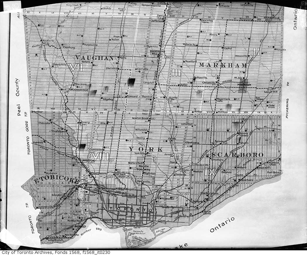
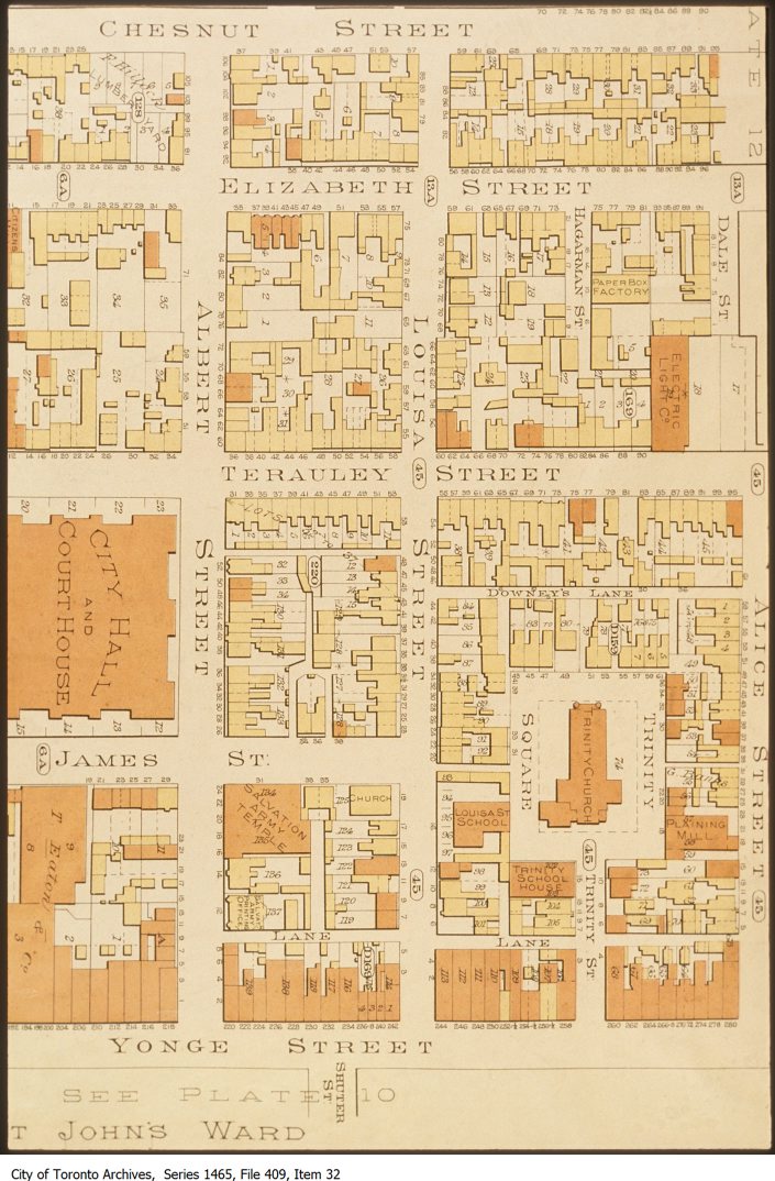
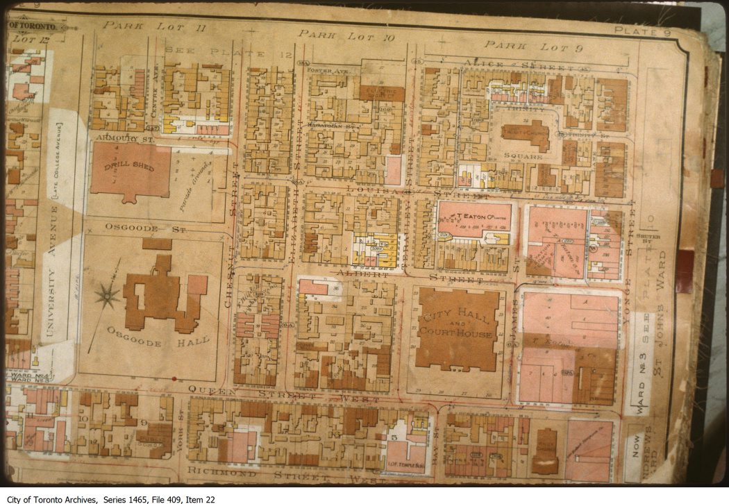
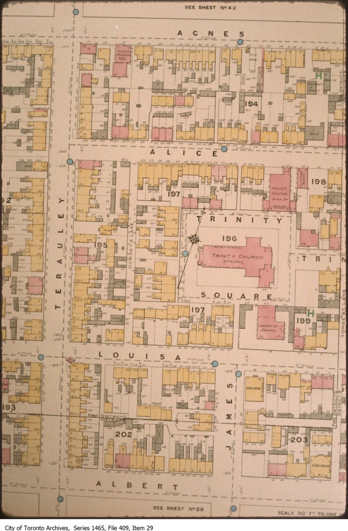
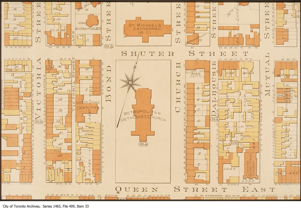
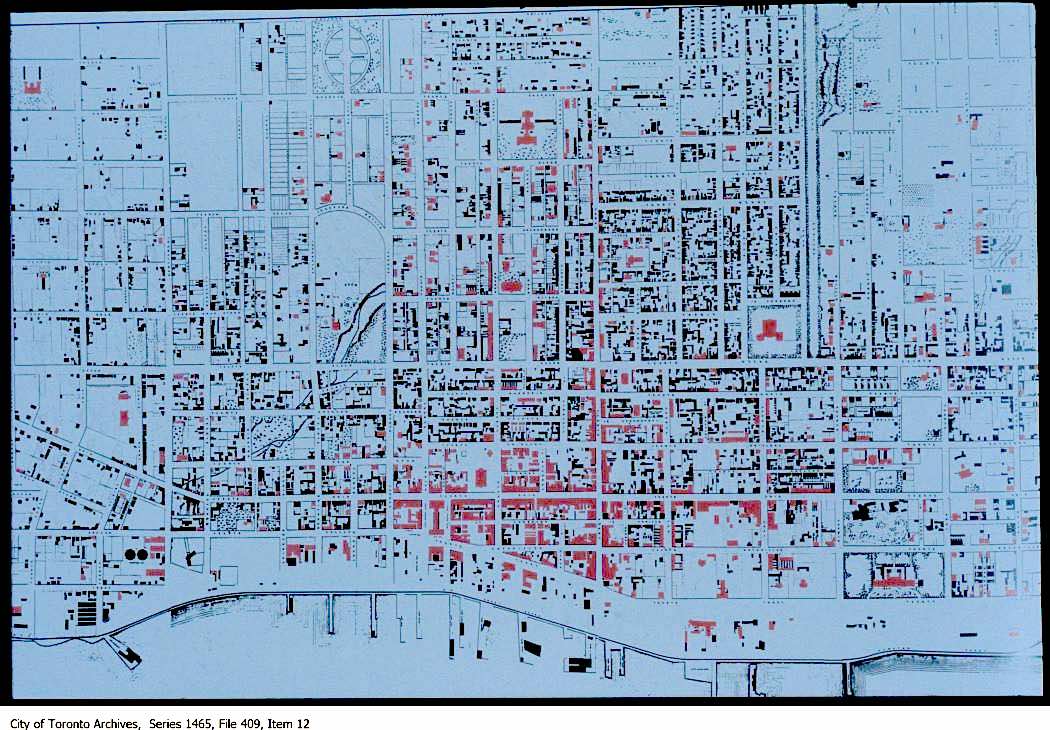
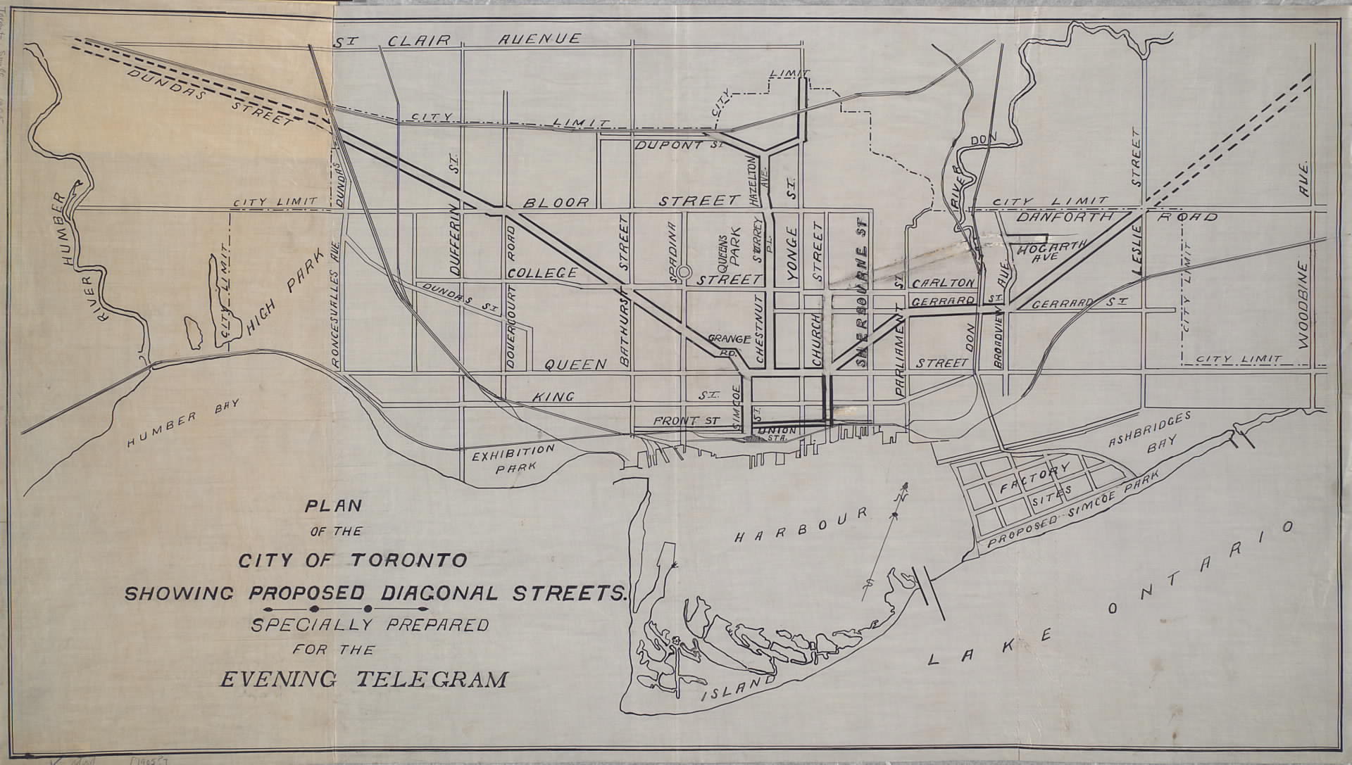
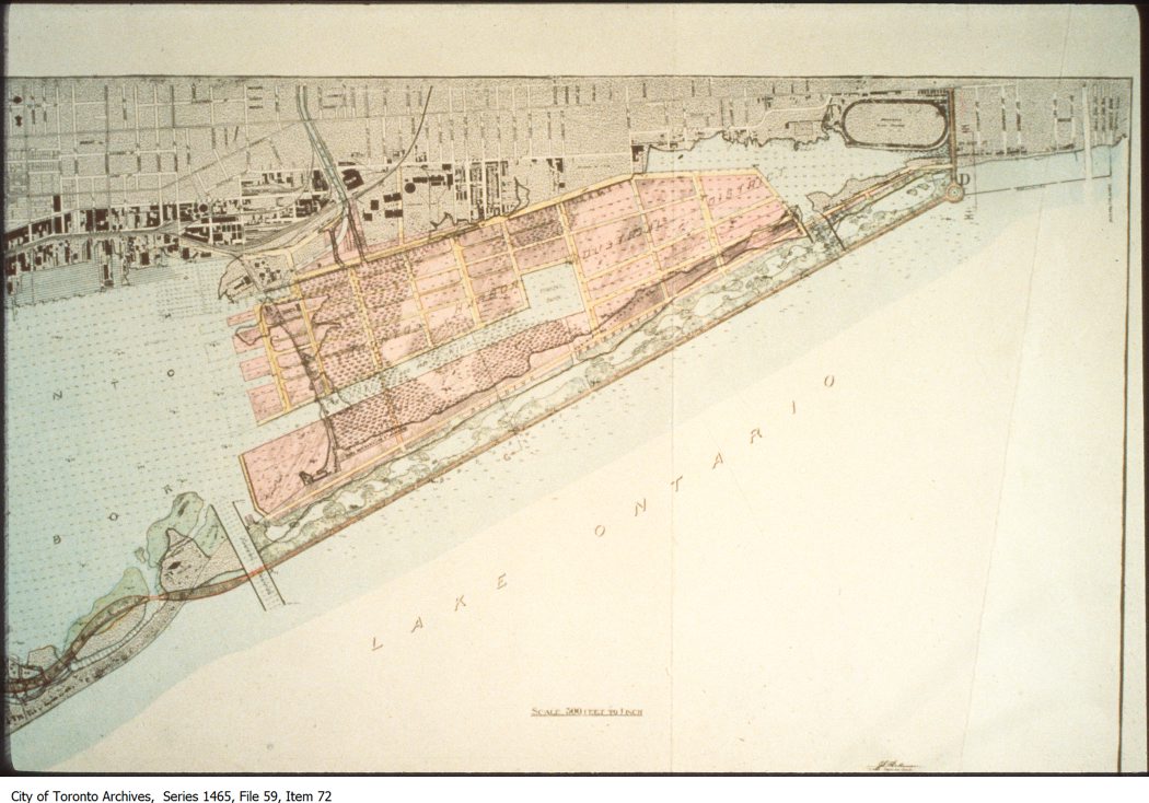
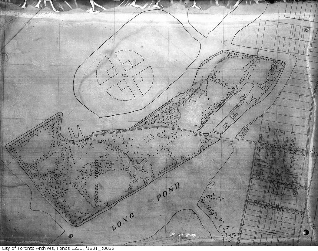
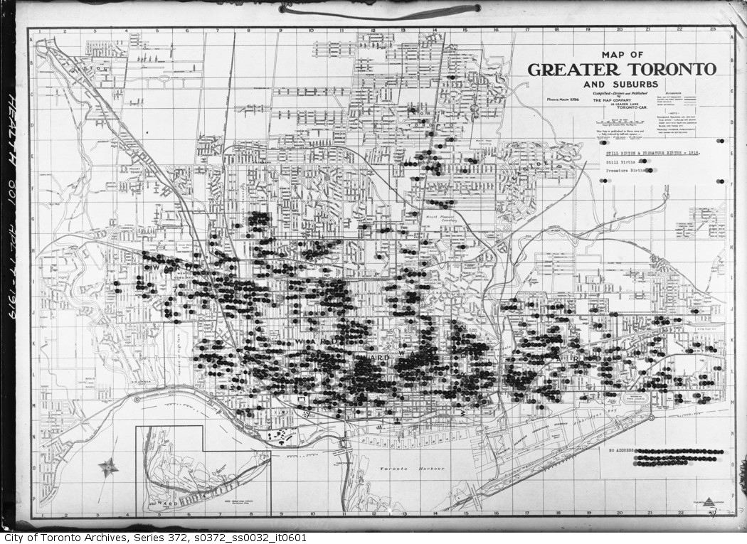
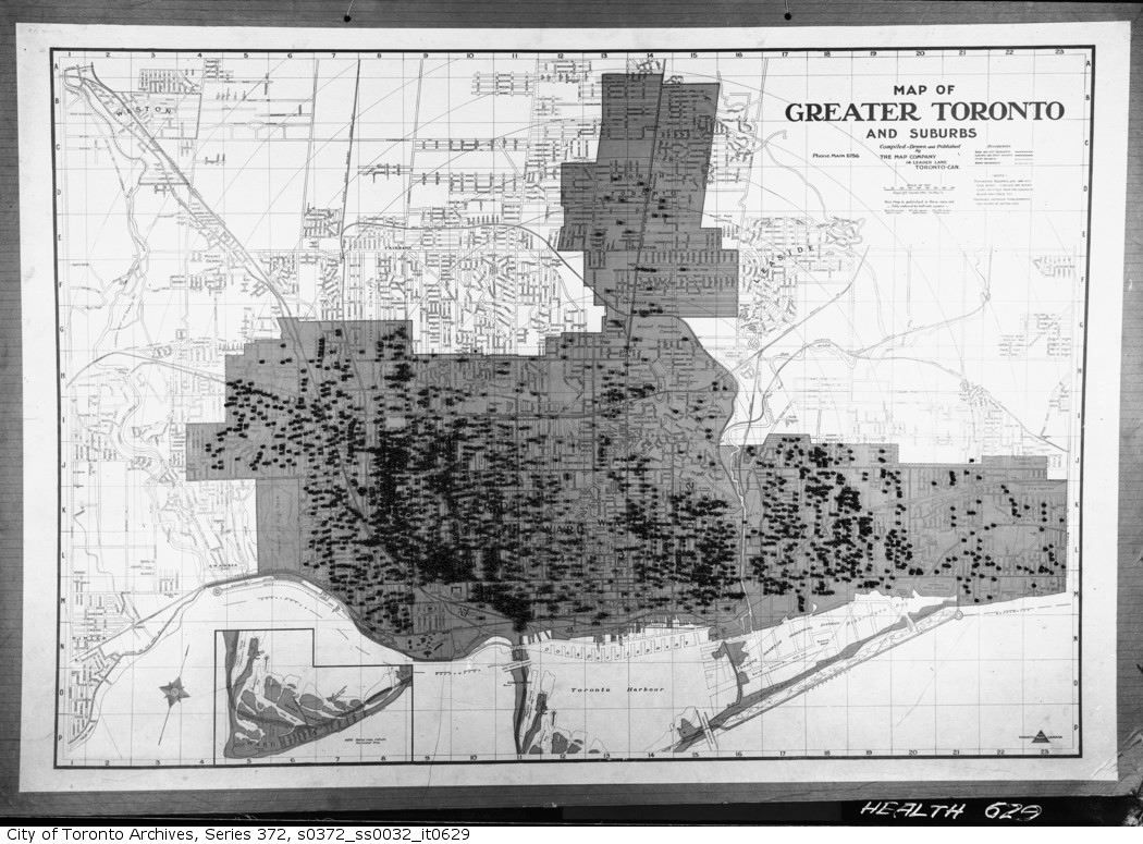
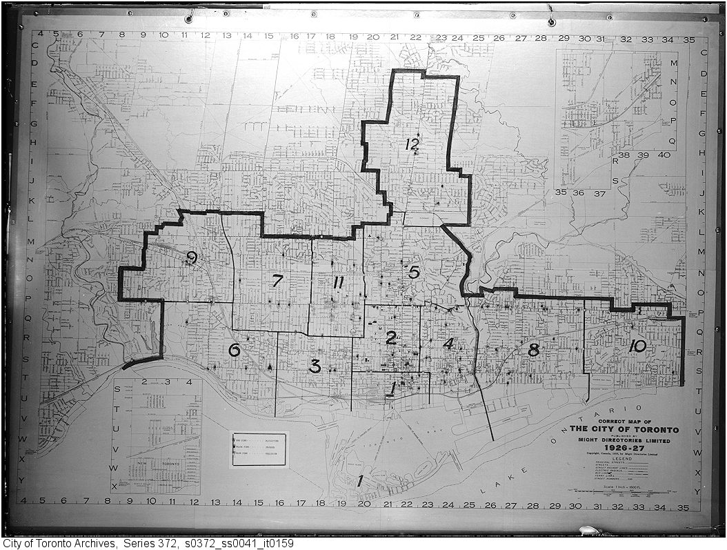
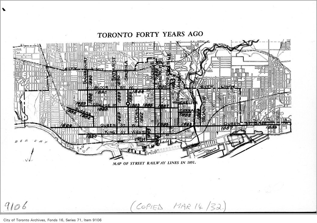
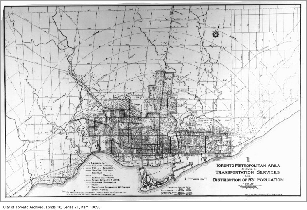
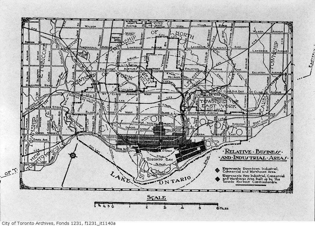
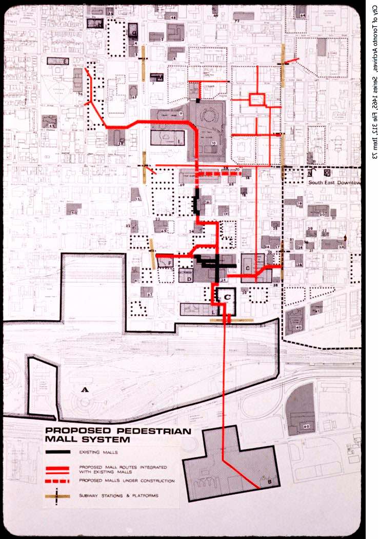
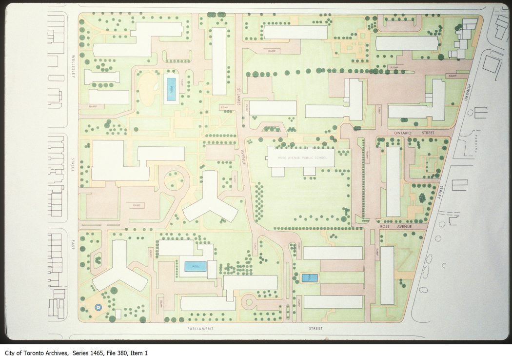
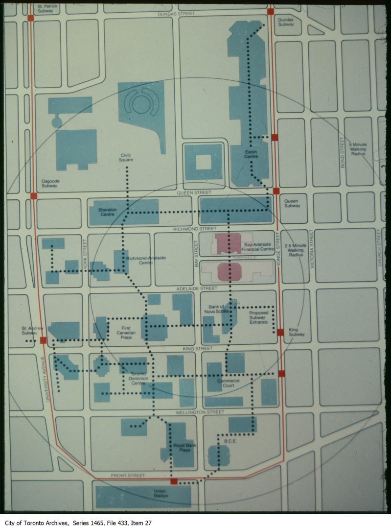
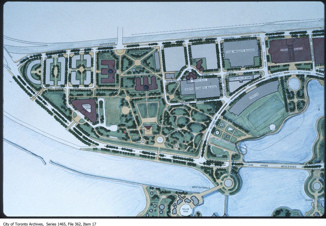
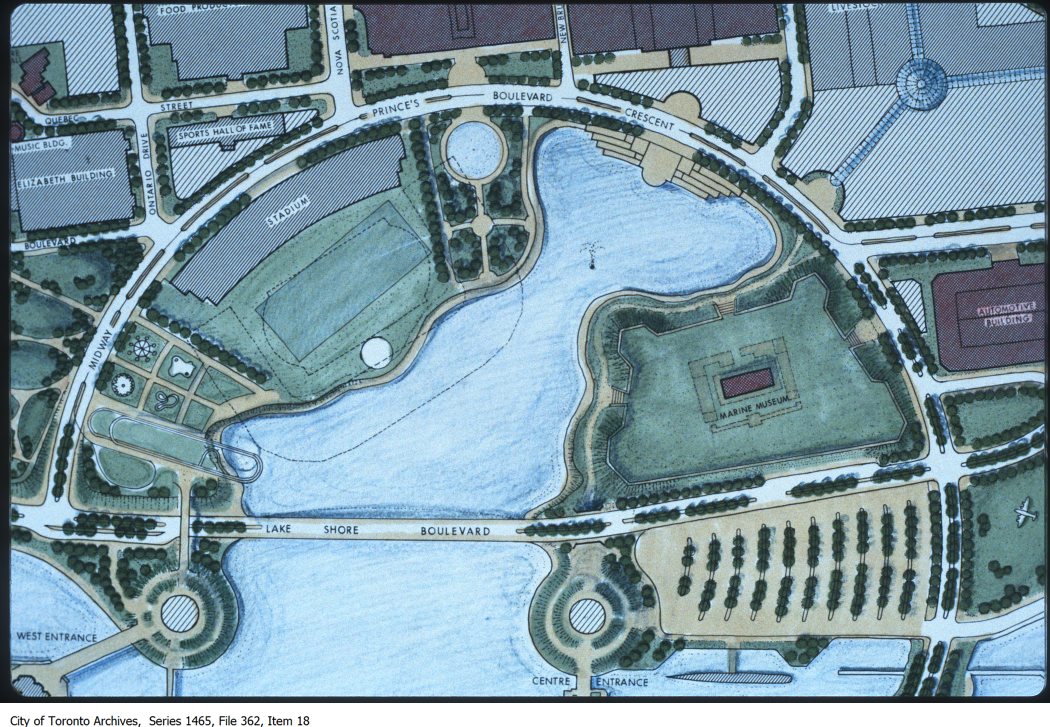
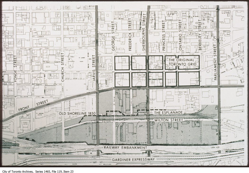
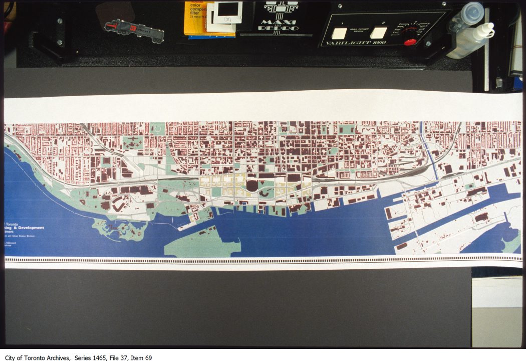
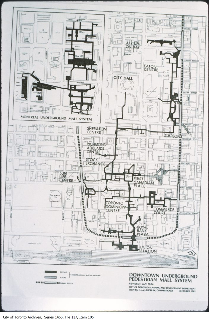
1792 – Plan of Toronto Harbour, Joseph Bouchette1818 – Plan of York, Lieut. Philpotts1834 – Map of downtown Toronto east of Peter 11834, Map1842 – Detail of topographical map of the city and liberties of Toronto1842 – Map of downtown Toronto east of Peter 21842 – Topographical map of the city and liberties of Toronto, James Cane1848 – A plan of Toronto Harbour in 1848. The town is still a compact grid at this point; in a few years a building boom will explode the boundaries considerably.1857 – Plan of the City of Toronto, Canada West, Fleming Ridout & Schreiber1860 – Map of downtown Toronto east of Peter 21860 – Map of Lake Ontario1862 – Plan of the City of Toronto, H.J. Browne1873 – City of Toronto compiled from surveys made to the present date, 18731878 – Hart & Rawlinson’s Map of the City of Toronto, with Suburbs of Yorkville, Parkdale, Seaton Village, Brockton, and Ben-Lamond1879 – Birds Eye View of Toronto from New Album of Toronto Views1884 – City of Toronto, published expressly for the Toronto City Directory by R. L. Polk & Company. Room %22S%22 Victoria Chambers, Toronto1887 – Star Engraving Co. map of Toronto1889 – city of Toronto published for the Toronto City Directory, 18891891 – AlexanderCable1891 – Plan of the City of Toronto and suburbs shewing new & old ward divisions1892 – Toronto Railway Company’s Map Showing Street Railway Lines1895 – Foster’s vest pocket map of Toronto, 18951895 – Map of the city of Toronto published by Might Directory Co. prepared in the office of John Galt, C. E. and M. E1898 – Cyclists’ Road Map for the County of York Including Portions of Ontario, Peel and Simcoe, 18981900 – York County1900? – Goad’s map of city hall area1900? – Goad’s map of city hall area copy1900? – Goad’s map of north-east corner of Bay and Queen1900? – Goad’s map of Queen and Church1900? – Map of central city 21905 – Plan of the City of Toronto showing proposed diagonal streets1909 – Plan of the City of Toronto1910? – Map of Ashbridge’s Bay area1913 – Map of Centre Island1919 – Still-births and Premature-births Map1921 – May 17 – Smallpox Map of Greater Toronto and Suburbs, 1919-19201927 -0 Map of City of Toronto1932 – Toronto forty years ago1934 – Population map, City of Toronto, (Electrical Department)1939 – Map of business and industrial areas1970-72 – Proposed Pedestrian Mall System1972-86 – Map of St. Jamestown1978-87 – Map of PATH underground pedestrian system1978-87 – Map of proposed Exhibition Place redevelopment1978-87 – Map of proposed Exhibition Place redevelopment 21980-98 – Map showing original Toronto street grid and shoreline1980? – Map of waterfront1984 – Map of downtown underground pedestrian mall system
View more vintage Toronto maps on the Toronto Archives or the Toronto Public Library website.